Whippendell Wood, Watford
Map

Map

Facts and practical information
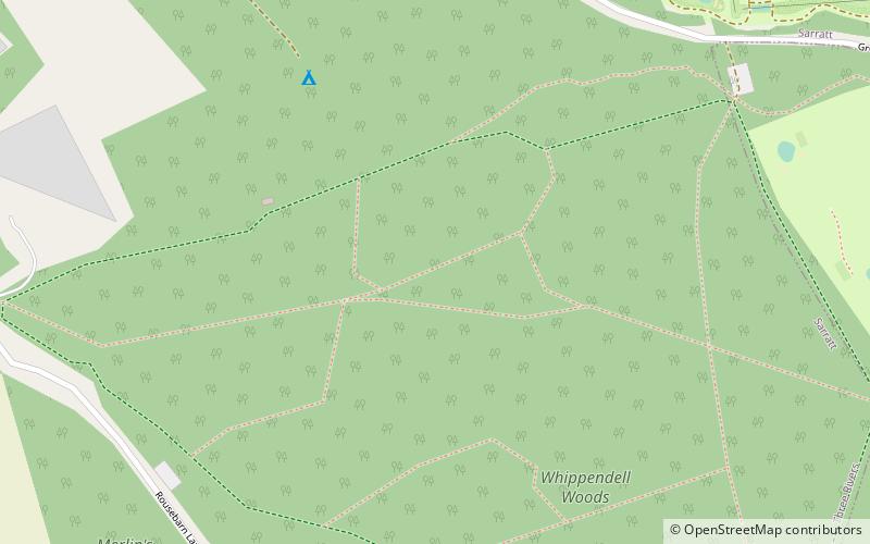
Whippendell Wood is an ancient woodland on the edges of Watford, England, covering an area of 165.3 acres. It is owned and managed by Watford Borough Council. It is a Site of Special Scientific Interest, and has held this status since 1954. Its present name comes from the Anglo-Saxon name "Wippa denu", meaning "Wippa's valley". ()
Coordinates: 51°40'12"N, 0°26'42"W
Address
Watford
ContactAdd
Social media
Add
Day trips
Whippendell Wood – popular in the area (distance from the attraction)
Nearby attractions include: Vicarage Road, Warner Bros. Studio Tour London - The Making of Harry Potter, Cassiobury Park, Watford Colosseum.
Frequently Asked Questions (FAQ)
How to get to Whippendell Wood by public transport?
The nearest stations to Whippendell Wood:
Train
Metro
Train
- Cassiobury Park Station (27 min walk)
Metro
- Watford • Lines: Metropolitan (38 min walk)


