Stob a' Choire Mheadhoin
#3102 among destinations in the United Kingdom


Facts and practical information
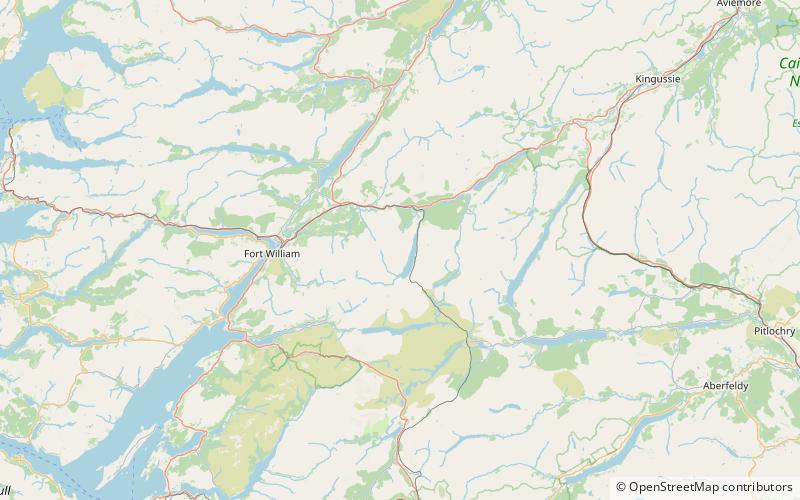
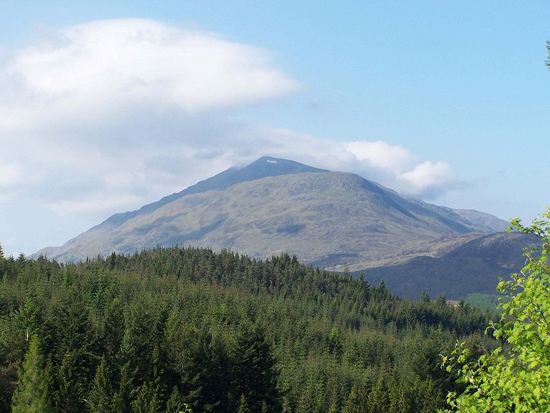
Stob a' Choire Mheadhoin is a mountain in the Scottish Highlands, it is situated 19 km east of Fort William in the Lochaber area of the Highland council area. ()
ScotlandUnited Kingdom
Stob a' Choire Mheadhoin – popular in the area (distance from the attraction)
Nearby attractions include: Stob Choire Claurigh, Cruach Innse, Sgùrr Innse, Stob Coire Easain.
 Nature, Natural attraction, Mountain
Stob Choire Claurigh
86 min walk • Stob Choire Claurigh is a Scottish mountain situated 16 km east of Fort William in the Lochaber district of the Highland council area. It is part of one of the best ridge walks on the Scottish mainland.
 Mountain
Cruach Innse, Ben Nevis and Glen Coe National Scenic Area
71 min walk • Cruach Innse is a mountain in the Grampian Mountains of Scotland. It is located south of the village of Roybridge in Lochaber. A craggy peak, it is usually climbed in conjunction with its southern neighbour Sgùrr Innse, starting at Corriechoile Lodge on the River Spean.
 Mountain
Sgùrr Innse, Ben Nevis and Glen Coe National Scenic Area
45 min walk • Sgurr Innse is a mountain in the Grampian Mountains of Scotland, situated south of the village of Roybridge in Lochaber. A rocky lump of a mountain, it offers fantastic views from its summit.
 Nature, Natural attraction, Mountain
Stob Coire Easain
17 min walk • Stob Coire Easain is a Scottish Munro mountain which reaches a height of 1115 metres, situated 18 kilometres east of Fort William. It stands on the western side of Loch Treig, along with its "twin", the Munro Stob a' Choire Mheadhoin.
 Nature, Natural attraction, Mountain
Stob Coire an Laoigh
122 min walk • Stob Coire an Laoigh is a Scottish mountain in The Grey Corries Range, 15 kilometres north east of Kinlochleven. At an elevation of 1,116 metres Stob Coire an Laoigh is equal 37th in height on the Munro table.
 Mountain
Creag Ghuanach, Ben Nevis and Glen Coe National Scenic Area
77 min walk • Creag Ghuanach is a mountain in the Grampian Mountains of Scotland. It is located in Lochaber, at the southern head of Loch Treig. A small but very craggy peak, Creag Ghuanach rises steeply from the Loch below. The nearest village is Roybridge several miles to the north.
 Dam, Lake
Laggan Dam
144 min walk • Laggan Dam is a dam located on the River Spean south west of Loch Laggan in the Scottish Highlands.
 Mountain
Grey Corries, Ben Nevis and Glen Coe National Scenic Area
110 min walk • The Grey Corries are a range of mountains in the West Highlands of Scotland. The range includes several of Scotland's highest peaks including a number of Munros.
 Nature, Natural attraction, Mountain
Chno Dearg
98 min walk • Chno Dearg is a Scottish mountain situated 25 km east of Fort William, Highland in the Lochaber area of the Highland council area.
 Nature, Natural attraction, Mountain
Stob Bàn
81 min walk • Stob Bàn is a mountain situated in the Lochaber region of Highland, Scotland, 16 kilometres east of Fort William. It reaches a height of 977 metres and lies in a group of hills known as the Grey Corries which includes three other Munros and nine Munro "Tops" along an eight kilometre ridge.
 Nature, Natural attraction, Mountain
Sgùrr Eilde Mòr
181 min walk • Sgùrr Eilde Mòr is a Scottish mountain situated in the Mamores range, 6 kilometres north-east of Kinlochleven. It is a steep, conical peak of scree and quartzite boulders, capped with a layer of schist. With a height of 1010 m it is classed as a Munro, so is popular with hillwalkers.
