Caerhowel Bridge
Map

Map

Facts and practical information
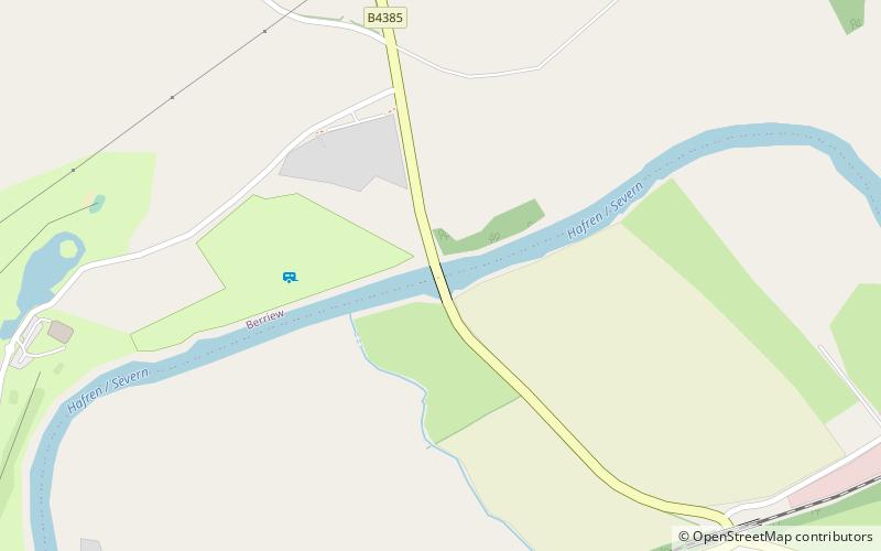
Caerhowel Bridge is a two-arch cast-iron, Grade II listed bridge over the River Severn, west of Caerhowel, Powys, Wales. The 6.6-metre-wide bridge was built on the site of a previous bridge which was possibly destroyed around the late 13th century. A redesigned timber bridge was destroyed after the River Severn flooded in 1852 and a subsequent bridge fell in 1858. The present-day bridge was designed by Thomas Penson making it the third cast-iron bridge in Montgomeryshire and was renovated in the early 21st century. ()
Width: 22 ftCoordinates: 52°34'31"N, 3°11'13"W
Location
Wales
ContactAdd
Social media
Add
Day trips
Caerhowel Bridge – popular in the area (distance from the attraction)
Nearby attractions include: Powis Castle, Dolforwyn Castle, Montgomery Castle, The Old Bell Museum.


