Wavertree, Liverpool
Map

Gallery

Facts and practical information
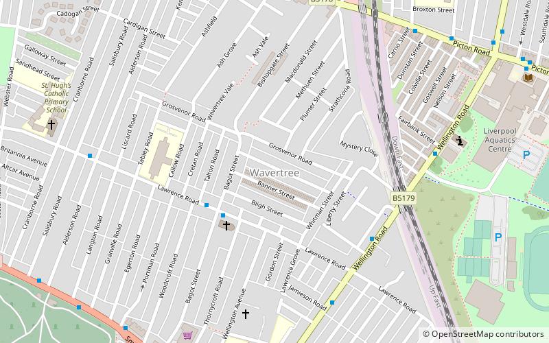
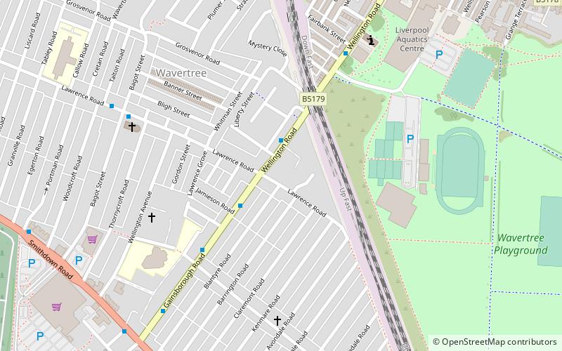
Wavertree is a district of Liverpool, England. It is a ward of Liverpool City Council, and its population at the 2011 census was 14,772. Located to the south and east of the city centre, it is bordered by various districts and suburbs such as Childwall, Edge Hill, Fairfield, Mossley Hill, Old Swan, and Toxteth. ()
Address
PictonLiverpool
ContactAdd
Social media
Add
Day trips
Wavertree – popular in the area (distance from the attraction)
Nearby attractions include: Sefton Park, Granby Four Streets, Liverpool Shopping Park, St Barnabas' Church.
Frequently Asked Questions (FAQ)
Which popular attractions are close to Wavertree?
Nearby attractions include Church of Saint Bridget, Liverpool (3 min walk), Frontline Church, Liverpool (5 min walk), Smithdown Road, Liverpool (8 min walk), Toxteth Park Cemetery, Liverpool (12 min walk).
How to get to Wavertree by public transport?
The nearest stations to Wavertree:
Train
Train
- Wavertree Technology Park (17 min walk)
- Edge Hill (18 min walk)


