St Columba, Glasgow
Map
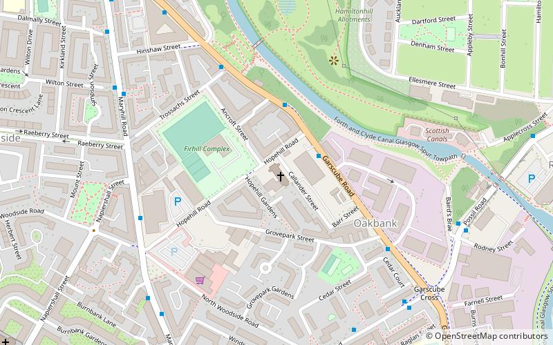
Map

Facts and practical information
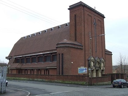
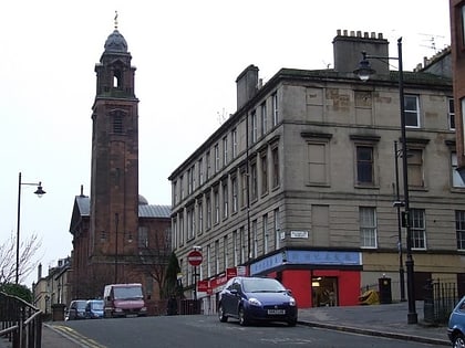
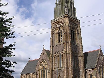
St Columba's Church is a Roman Catholic Parish church in Woodside, Glasgow, Scotland. It was completed in 1941 and designed by Gillespie, Kidd & Coia. It is situated on Hopehill Road south west of Garscube Road. From 2005 until 2016 it was served by priests from the Dominican Order. Since 2016 it has been served by the Holy Ghost Fathers. It is a category A listed building. ()
Completed: 1941 (85 years ago)Architectural style: Romanesque revivalCoordinates: 55°52'35"N, 4°15'60"W
Day trips
St Columba – popular in the area (distance from the attraction)
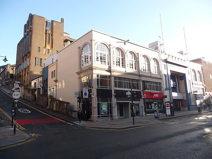
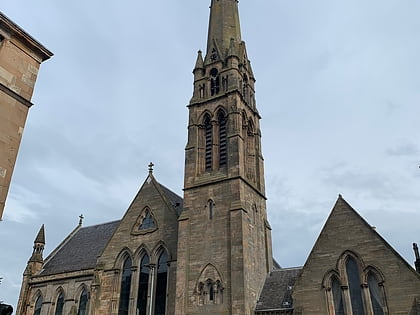
Nearby attractions include: O2 ABC Glasgow, Glasgow University Union, Glasgow School of Art, Queen's Cross Church.
Frequently Asked Questions (FAQ)
Which popular attractions are close to St Columba?
Nearby attractions include Woodside, Glasgow (7 min walk), The Glue Factory, Glasgow (8 min walk), Queen's Cross Church, Glasgow (9 min walk), St Mary's Cathedral, Glasgow (10 min walk).
How to get to St Columba by public transport?
The nearest stations to St Columba:
Bus
Metro
Train
Bus
- Maryhill Road / North Woodside Road • Lines: 17, 60, 60A, 61, 8, C8 (5 min walk)
- Maryhill Road / Hinshaw Street • Lines: 17, 60, 60A, 61, 8, C8, N60 (6 min walk)
Metro
- St Georges Cross • Lines: Subway (10 min walk)
- Kelvinbridge • Lines: Subway (14 min walk)
Train
- Charing Cross (22 min walk)
- Possilpark and Parkhouse (26 min walk)
