St Michael's
Map

Map

Facts and practical information
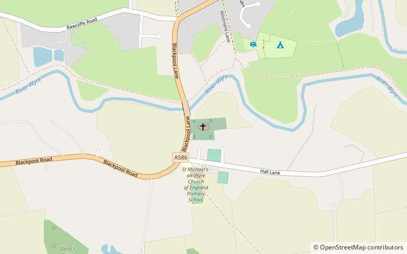
St Michael's Church is an Anglican church in the village of St Michael's on Wyre, Lancashire, England. It is a typical late Medieval church and has been designated by English Heritage as a Grade I listed building. It is an active parish church in the Diocese of Blackburn and the archdeaconry of Lancaster. ()
Coordinates: 53°51'46"N, 2°49'10"W
Location
England
ContactAdd
Social media
Add
Day trips
St Michael's – popular in the area (distance from the attraction)
Nearby attractions include: The Plough at Eaves, St Helen's Church, St Michael's Church, Old St John the Baptist's Church.


