Rowten Pot, Yorkshire Dales National Park
Map
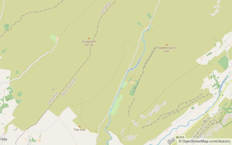
Map

Facts and practical information
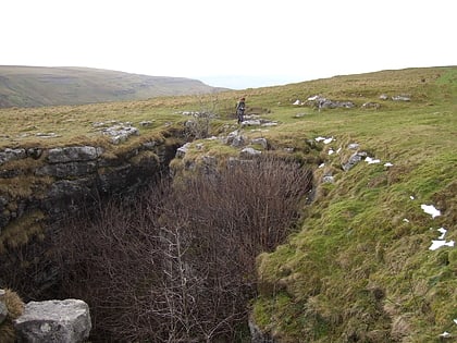
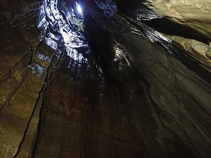
Rowten Pot is one of several entrances into the 27-kilometre long cave system that drains Kingsdale in North Yorkshire, England. Its entrance is a shaft some 27 metres long, 10 metres wide, and at the southern end 72 metres deep. ()
Discovered: 1897Length: 850 ftDepth: 344 ftCoordinates: 54°11'48"N, 2°27'51"W
Address
Yorkshire Dales National Park
ContactAdd
Social media
Add
Day trips
Rowten Pot – popular in the area (distance from the attraction)
Nearby attractions include: Jingling Pot, Swinsto Cave, Yordas Cave, Gragareth.
Frequently Asked Questions (FAQ)
Which popular attractions are close to Rowten Pot?
Nearby attractions include Simpson Pot, Yorkshire Dales National Park (4 min walk), Aquamole Pot, Yorkshire Dales National Park (6 min walk), Jingling Pot, Yorkshire Dales (7 min walk), Kingsdale, Yorkshire Dales National Park (10 min walk).
