Kingsdale, Yorkshire Dales National Park
Map
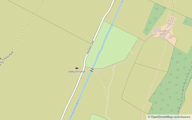
Map

Facts and practical information
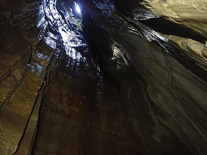
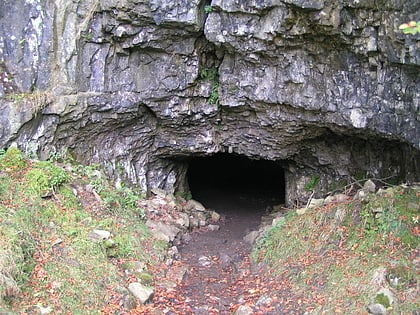
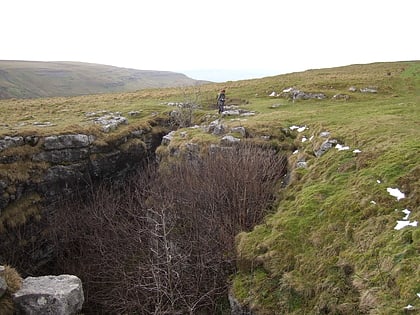
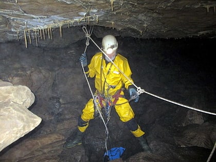
Kingsdale is a valley on the western edge of the Yorkshire Dales National Park in northern England. The name Kingsdale derives from a combination of Old Norse and Old English which means The valley where the cows were kept. Humans were active in Kingsdale from 6,700 BC onwards. Evidence of fire-pits used by hunter-gatherers have been found in the dale. ()
Coordinates: 54°11'31"N, 2°27'40"W
Address
Yorkshire Dales National Park
ContactAdd
Social media
Add
Day trips
Kingsdale – popular in the area (distance from the attraction)
Nearby attractions include: Jingling Pot, Swinsto Cave, Yordas Cave, Rowten Pot.
Frequently Asked Questions (FAQ)
Which popular attractions are close to Kingsdale?
Nearby attractions include Simpson Pot, Yorkshire Dales National Park (9 min walk), Rowten Pot, Yorkshire Dales National Park (10 min walk), Swinsto Cave, Yorkshire Dales (11 min walk), Aquamole Pot, Yorkshire Dales National Park (14 min walk).

