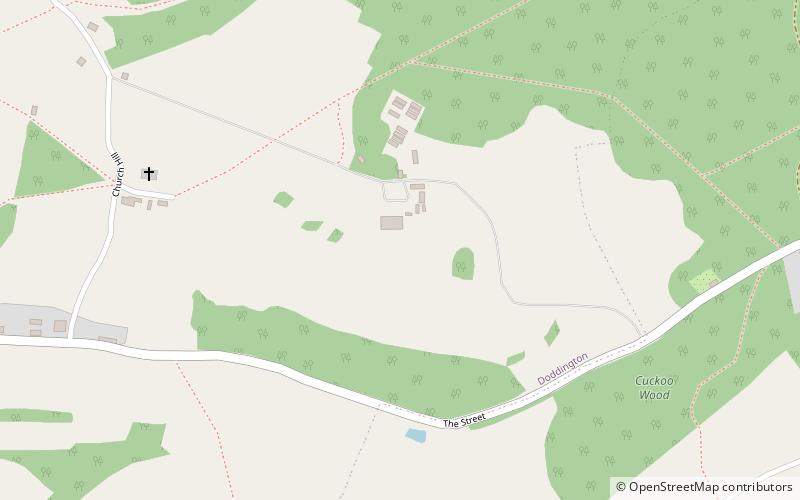
Doddington Place Gardens
Map

Map

Facts and practical information
Doddington Place Gardens is part of a 850 acres Edwardian estate, located on the edge of Doddington village, near Faversham in Kent, UK. ()
Opened: 1965 (61 years ago)Elevation: 299 ft a.s.l.Coordinates: 51°16'60"N, 0°47'10"E
Location
Doddington Place Church LaneDoddington ME9 0BB England
Contact
+44 1795 886101
Social media
Add
Day trips
Doddington Place Gardens – popular in the area (distance from the attraction)
Nearby attractions include: Bredgar and Wormshill Light Railway, The Forum Shopping Centre, Faversham Stone Chapel, Belmont House and Gardens.


