Charing Windmill, Kent Downs
Map

Map

Facts and practical information
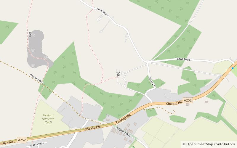
Charing Windmill is a Grade II listed house converted smock mill on Charing Hill in Kent in southeast England. It is sometimes known as Field Mill, but that name was also used by a watermill in Charing. ()
Coordinates: 51°13'1"N, 0°48'8"E
Address
Kent Downs
ContactAdd
Social media
Add
Day trips
Charing Windmill – popular in the area (distance from the attraction)
Nearby attractions include: Ashford Golf Club, County Square Shopping Centre, Godinton House, Belmont House and Gardens.
Frequently Asked Questions (FAQ)
How to get to Charing Windmill by public transport?
The nearest stations to Charing Windmill:
Train
Train
- Charing (21 min walk)


