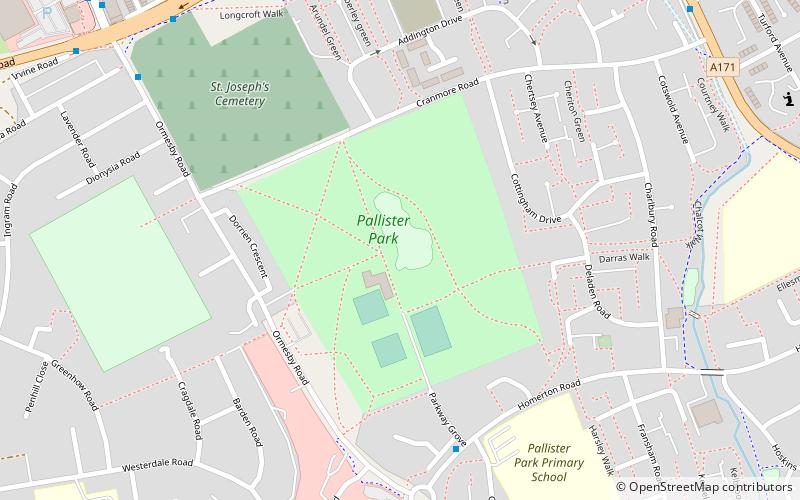
Pallister, Middlesbrough
Map

Map

Facts and practical information
Pallister is an east Middlesbrough suburb in the borough of Middlesbrough, North Yorkshire, England. It is located within the TS3 postcode area. The Pallister Ward had population at the 2011 Census of 6,069, the ward was later renamed in 2015 to Berwick Hills and Pallister. ()
Elevation: 43 ft a.s.l.Coordinates: 54°33'51"N, 1°12'11"W
Day trips
Pallister – popular in the area (distance from the attraction)
Nearby attractions include: Riverside Stadium, Middlesbrough Institute of Modern Art, Temenos, Middlesbrough Town Hall.
Frequently Asked Questions (FAQ)
Which popular attractions are close to Pallister?
Nearby attractions include North Ormesby, Middlesbrough (17 min walk), Thorntree, Middlesbrough (20 min walk).
How to get to Pallister by public transport?
The nearest stations to Pallister:
Train
Bus
Train
- James Cook (23 min walk)
Bus
- Ormesby Crossroads • Lines: 5A, 63, X5 (35 min walk)
- Middlesbrough College • Lines: Tr2 (37 min walk)


