Werneth, Oldham
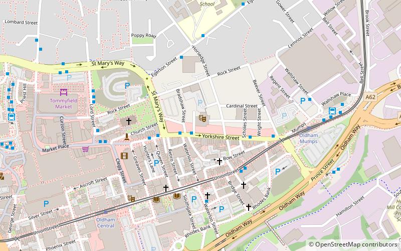
Map
Gallery
Facts and practical information
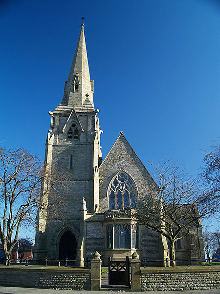
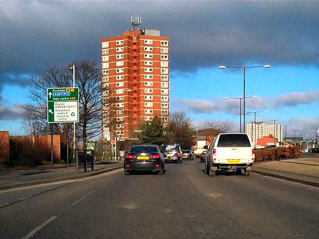
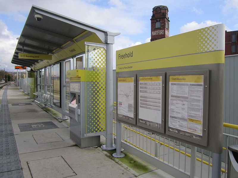
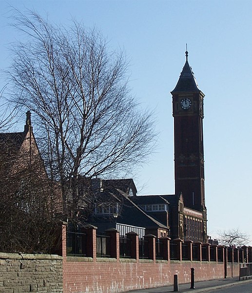
Werneth is an area of Oldham, Greater Manchester, England. The population at the 2011 census was 12,348. It is 1 mile west-southwest of Oldham's commercial centre and one of its most ancient localities. It is contiguous with Westwood, Hollinwood, Hollins and Chadderton. Werneth includes Freehold between Werneth Park and Oldham's border with Chadderton at Block Lane. ()
Coordinates: 53°32'8"N, 2°7'47"W
Day trips
Werneth – popular in the area (distance from the attraction)
Nearby attractions include: Alexandra Park, Oldham War Memorial, Chadderton Town Hall, Gallery Oldham.
Frequently Asked Questions (FAQ)
Which popular attractions are close to Werneth?
Nearby attractions include Manchester Street Veterinary Surgery, Oldham (8 min walk), St Patrick's, Oldham (13 min walk), Oldham Sixth Form College, Oldham (14 min walk), Westwood Moravian Church, Oldham (15 min walk).
How to get to Werneth by public transport?
The nearest stations to Werneth:
Tram
Bus
Tram
- Freehold • Lines: EDid, Roch, Shaw (10 min walk)
- Westwood • Lines: EDid, Roch, Shaw (13 min walk)
Bus
- Oldham West Street Bus Station (18 min walk)
- Oldham Central Bus Station (20 min walk)


