Penny Pie Park, Barnsley
Map

Map

Facts and practical information
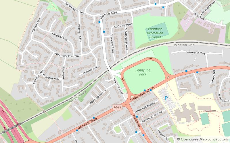
Originally used as landfill site for domestic waste, the land that is now known as Penny Pie Park is a large recreational playing field, open to the public. It is located in Pogmoor, Barnsley and is owned by the local council. ()
Elevation: 469 ft a.s.l.Coordinates: 53°33'9"N, 1°30'33"W
Address
Barnsley
ContactAdd
Social media
Add
Day trips
Penny Pie Park – popular in the area (distance from the attraction)
Nearby attractions include: Barnsley Town Hall, Locke Park, Holy Rood Church, Dodworth.
Frequently Asked Questions (FAQ)
Which popular attractions are close to Penny Pie Park?
Nearby attractions include Pogmoor, Barnsley (6 min walk), Wilthorpe, Barnsley (15 min walk), Gawber, Barnsley (16 min walk), Dodworth, Barnsley (23 min walk).
How to get to Penny Pie Park by public transport?
The nearest stations to Penny Pie Park:
Train
Train
- Dodworth (28 min walk)


