Barnsley College, Barnsley
Map

Map

Facts and practical information
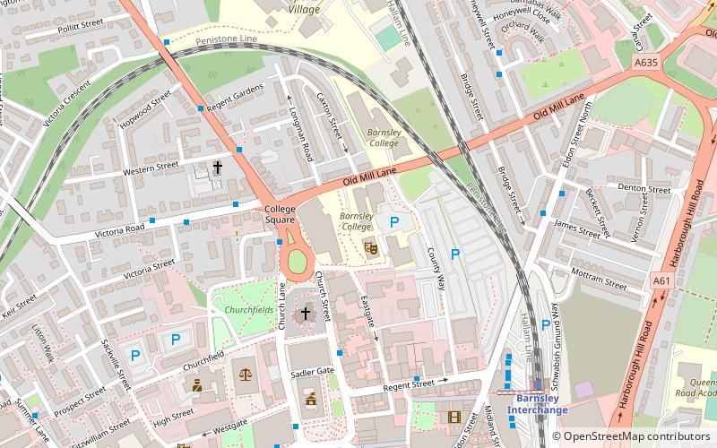
Barnsley College is a further education college just outside the town centre of Barnsley, England. It has several campuses, including the SciTech Digital Innovation Centre, and Barnsley Sixth Form College. The college provides A Levels, vocational courses, and apprenticeships for students from Years 12 to 13. It also offers Higher Education for students over the age of 18. ()
Coordinates: 53°33'24"N, 1°28'54"W
Day trips
Barnsley College – popular in the area (distance from the attraction)
Nearby attractions include: Barnsley Metrodome, Alhambra Shopping Centre, Oakwell, Barnsley Town Hall.
Frequently Asked Questions (FAQ)
Which popular attractions are close to Barnsley College?
Nearby attractions include Cooper Art Gallery, Barnsley (3 min walk), Barnsley Town Hall, Barnsley (5 min walk), The Lamproom Theatre, Barnsley (7 min walk), Holy Rood Church, Barnsley (12 min walk).
How to get to Barnsley College by public transport?
The nearest stations to Barnsley College:
Bus
Train
Bus
- Barnsley Transport Interchange • Lines: 24, X17 (7 min walk)
- Schwabisch Gmund Way • Lines: X17 (7 min walk)
Train
- Barnsley Interchange (7 min walk)


