Gower and Swansea Bay Coast Path, Swansea
Map

Map

Facts and practical information
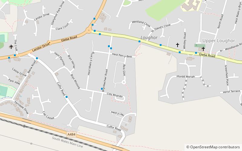
The Gower and Swansea Bay Coast Path is part of the Wales Coast Path, an 1,400-kilometre long-distance walking route around the whole coast of Wales that opened in 2012. The Gower and Swansea Bay stretch is 156 kilometres in length, running along the coast of the Gower Peninsula from Loughor, Swansea to Kenfig Dunes near Port Talbot, South Wales. The number of people using the Wales Coast Path in the Swansea local authority area was 349,333. ()
Length: 96.93 miSeason: All yearCoordinates: 51°39'45"N, 4°3'53"W
Address
Casllwchwr IsafSwansea
ContactAdd
Social media
Add
Day trips
Gower and Swansea Bay Coast Path – popular in the area (distance from the attraction)
Nearby attractions include: Loughor Castle, Loughor bridge, Loughor railway viaduct, Parc y Werin.
Frequently Asked Questions (FAQ)
Which popular attractions are close to Gower and Swansea Bay Coast Path?
Nearby attractions include Loughor Castle, Swansea (14 min walk), Loughor bridge, Swansea (20 min walk), Loughor railway viaduct, Swansea (20 min walk), Parc y Werin, Gorseinon (24 min walk).
How to get to Gower and Swansea Bay Coast Path by public transport?
The nearest stations to Gower and Swansea Bay Coast Path:
Bus
Bus
- Gorseinon Bus Station (27 min walk)


