Trent Park Cemetery, London
Map

Gallery

Facts and practical information
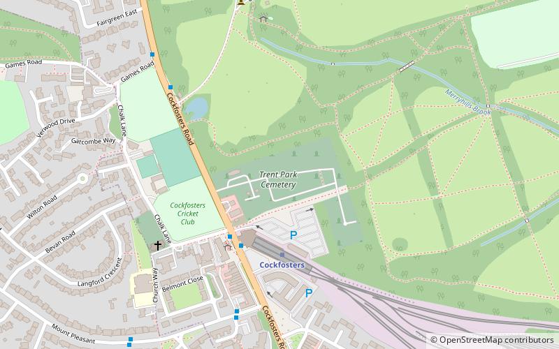
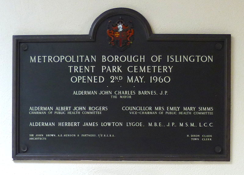
Trent Park Cemetery is a cemetery run by the Islington and Camden Cemetery Services located in Cockfosters Road, Cockfosters, north London. It is adjacent to Cockfosters tube station and Trent Park. ()
Elevation: 322 ft a.s.l.Coordinates: 51°39'10"N, 0°8'55"W
Address
Cockfosters RoadEnfield (Cockfosters)London EN4 0PS
ContactAdd
Social media
Add
Day trips
Trent Park Cemetery – popular in the area (distance from the attraction)
Nearby attractions include: Hadley Wood Golf Course, St Mary the Virgin, Christ Church Cockfosters, Covert Way.
Frequently Asked Questions (FAQ)
Which popular attractions are close to Trent Park Cemetery?
Nearby attractions include Christ Church Cockfosters, Potters Bar (5 min walk), Games Road, Potters Bar (9 min walk), Trent Park, London (14 min walk), Belmont Open Space, London (14 min walk).
How to get to Trent Park Cemetery by public transport?
The nearest stations to Trent Park Cemetery:
Metro
Bus
Train
Metro
- Cockfosters • Lines: Piccadilly (3 min walk)
- Oakwood • Lines: Piccadilly (21 min walk)
Bus
- Cockfosters Station • Lines: 298, 610, 611, 699 (3 min walk)
- Hail & Ride Galva Close • Lines: 384 (5 min walk)
Train
- New Barnet (28 min walk)
- Oakleigh Park (33 min walk)

 Tube
Tube


