Moel y Parc
Map

Map

Facts and practical information
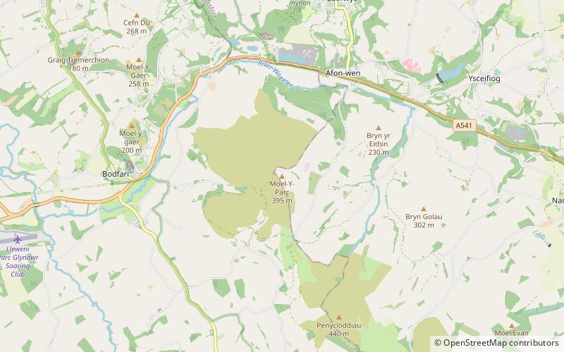
Moel y Parc is a hill on the border between Denbighshire and Flintshire in Wales. It is one of the Clwydian Hills, rising 398 metres above sea level and is located at OS grid reference SJ114703. There is a television mast near the summit. The summit marks the boundary of Aberwheeler and Ysceifiog communities, and is the site of a cairn and tumulus. ()
Elevation: 1306 ftProminence: 299 ftCoordinates: 53°13'11"N, 3°19'14"W
Day trips
Moel y Parc – popular in the area (distance from the attraction)
Nearby attractions include: Denbigh Castle, Denbigh Golf Club, Burgess Gate, Leicester's Church.


