Ryhope, Sunderland
Map

Map

Facts and practical information
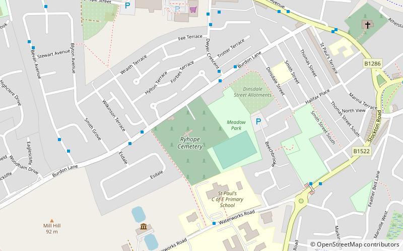
Ryhope is a coastal village along the southern boundary of the City of Sunderland, in Tyne and Wear, North East England. With a population of approximately 14,000, measured at 10.484 in the 2011 census, Ryhope is 2.9 miles to the centre of Sunderland, 2.8 miles to the centre of Seaham, and 1.2 miles from the main A19. ()
Address
Sunderland
ContactAdd
Social media
Add
Day trips
Ryhope – popular in the area (distance from the attraction)
Nearby attractions include: Stadium of Light, Sunderland Aquatic Centre, The Bridges, Mowbray Park.


