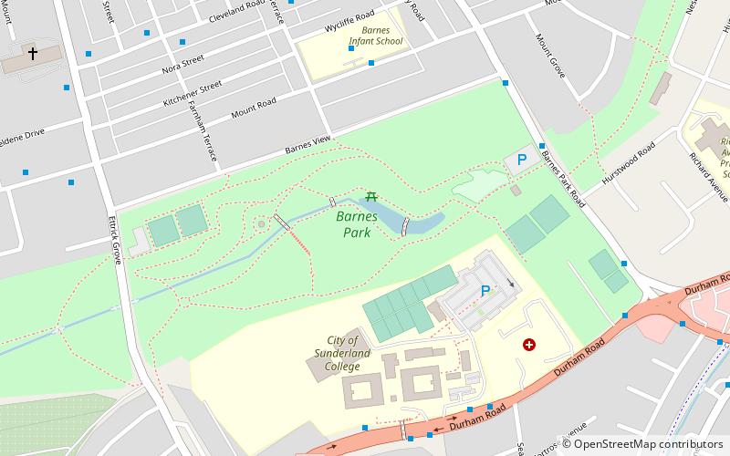
Barnes Park, Sunderland
Map

Map

Facts and practical information
Barnes Park is a historic public park in Sunderland, Tyne and Wear, England. Taken together with its post-war extensions, which run to the former county borough boundary, it is the largest park in the city. ()
Elevation: 180 ft a.s.l.Coordinates: 54°53'39"N, 1°24'35"W
Day trips
Barnes Park – popular in the area (distance from the attraction)
Nearby attractions include: The Bridges, Mowbray Park, Sunderland Museum and Winter Gardens, Sunderland Civic Centre.
Frequently Asked Questions (FAQ)
Which popular attractions are close to Barnes Park?
Nearby attractions include Sunderland College, Sunderland (4 min walk), Bishopwearmouth Cemetery, Sunderland (16 min walk), Ashbrooke, Sunderland (19 min walk).
How to get to Barnes Park by public transport?
The nearest stations to Barnes Park:
Light rail
Bus
Light rail
- Millfield • Lines: Green (24 min walk)
- University • Lines: Green (24 min walk)
Bus
- Sunderland Interchange Stand R • Lines: Sns (29 min walk)
- Sunderland Interchange • Lines: 426, 436, 905 (29 min walk)


