Shelfield, Walsall

Map
Facts and practical information
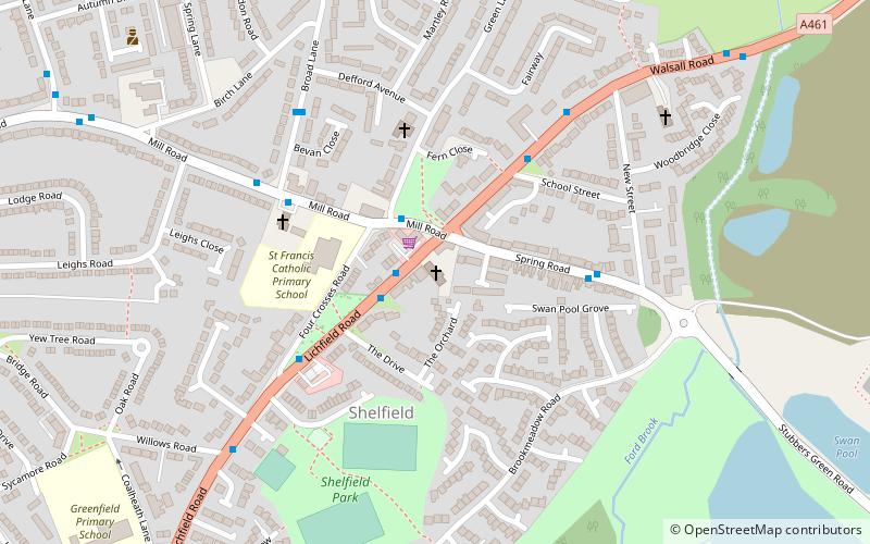
Shelfield is a suburban village in the borough of Walsall in the West Midlands conurbation. It is conjoined by the nearby villages of Walsall Wood and Rushall. ()
Coordinates: 52°37'3"N, 1°56'60"W
Address
77 Lichfield RdWalsall (Rushall-Shelfield)Walsall WS4 1PU
Contact
+44 1922 445802
Social media
Add
Day trips
Shelfield – popular in the area (distance from the attraction)
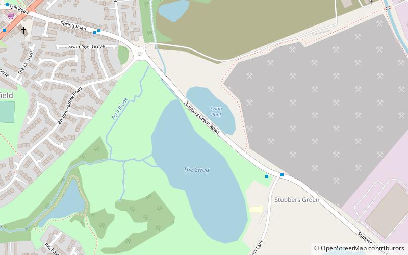
Nearby attractions include: Goscote, Aston Manor Road Transport Museum, Swan Pool & The Swag, The Parish Church of St John.
Frequently Asked Questions (FAQ)
How to get to Shelfield by public transport?
The nearest stations to Shelfield:
Bus
Bus
- Lichfield Rd / Mill Rd • Lines: 61 (2 min walk)


