Goscote, Walsall
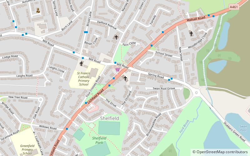
Map
Gallery
Facts and practical information
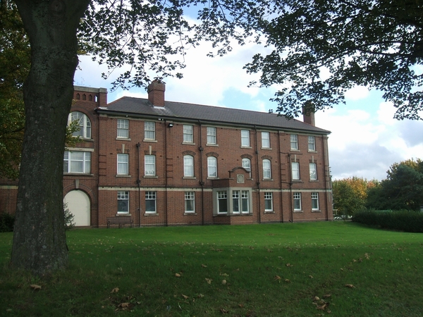
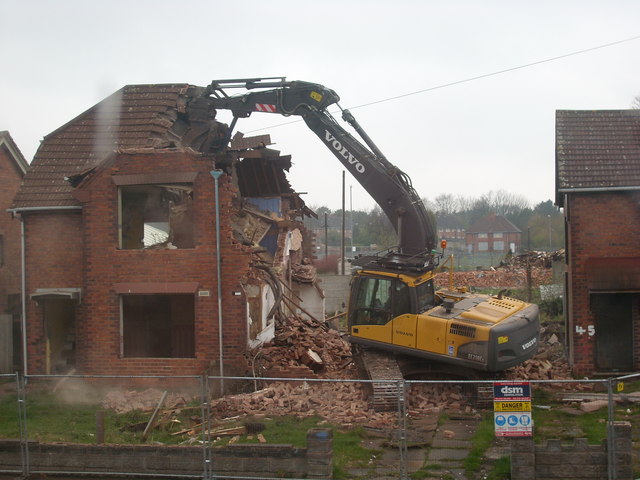
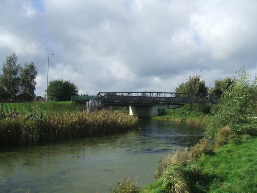
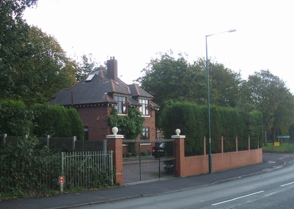
Goscote is a residential area of Walsall in the West Midlands of England. The Goscote name dates back several centuries and as recently as the 1920s it was a largely rural area that had survived the recent Industrial Revolution which dramatically altered the face of the region. ()
Elevation: 489 ft a.s.l.Coordinates: 52°36'47"N, 1°58'47"W
Address
Walsall (Blakenall)Walsall
ContactAdd
Social media
Add
Day trips
Goscote – popular in the area (distance from the attraction)
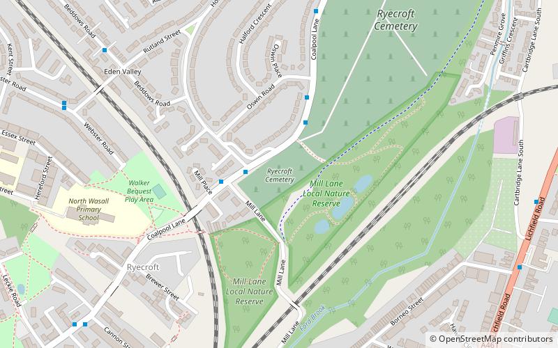
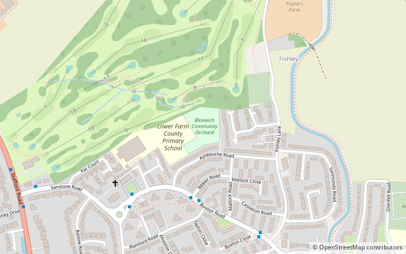
Nearby attractions include: Shelfield, Bloxwich, Ryecroft, Blakenall Garage.
Frequently Asked Questions (FAQ)
How to get to Goscote by public transport?
The nearest stations to Goscote:
Bus
Bus
- Walker Rd / Avenue Lane • Lines: 701 (8 min walk)
- Harden Rd / Health Centre • Lines: 701 (12 min walk)


