Brown Moss

Gallery (2)
Map
Map
Gallery
Facts and practical information
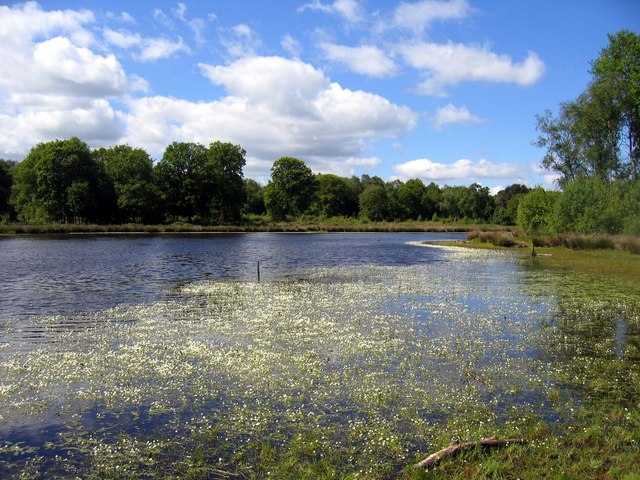
Brown Moss is a Site of Special Scientific Interest, Local Nature Reserve and important wetland area rich in wildlife close to Whitchurch, Shropshire. It is open to visitors and contains a number of self-guided walking trails. The name 'moss' derives from the local word for a peat bog. ()
Elevation: 361 ft a.s.l.Coordinates: 52°57'0"N, 2°39'14"W
Location
England
ContactAdd
Social media
Add
Day trips


