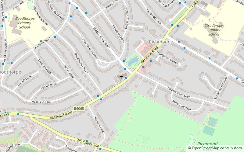
St Catherine of Siena, Sheffield
Map

Map

Facts and practical information
St Catherine of Siena is an Anglican church in the Richmond district of Sheffield in England. ()
Completed: 1959 (67 years ago)Architectural style: ModernCapacity: 300Coordinates: 53°21'41"N, 1°24'27"W
Day trips
St Catherine of Siena – popular in the area (distance from the attraction)
Nearby attractions include: Shire Brook Valley Local Nature Reserve, City Road Cemetery, Manor Lodge, Intake Cemetery.
Frequently Asked Questions (FAQ)
Which popular attractions are close to St Catherine of Siena?
Nearby attractions include Intake Cemetery, Sheffield (11 min walk), Parkway Man, Sheffield (23 min walk).
How to get to St Catherine of Siena by public transport?
The nearest stations to St Catherine of Siena:
Tram
Bus
Tram
- Manor Top / Elm Tree • Lines: Blue, Purp (23 min walk)
- Hollinsend • Lines: Blue, Purp (25 min walk)
Bus
- East Bank Road/Hurlfield Road • Lines: 51 (27 min walk)
- Holinsend Road/Ridgeway Road • Lines: 51 (27 min walk)


