East Barnet, London
Map

Gallery

Facts and practical information
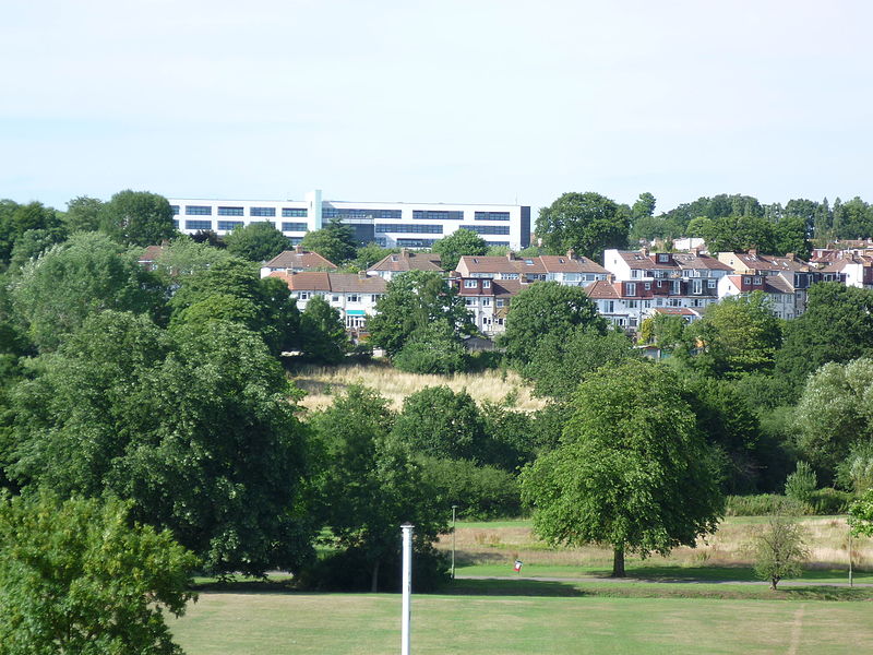
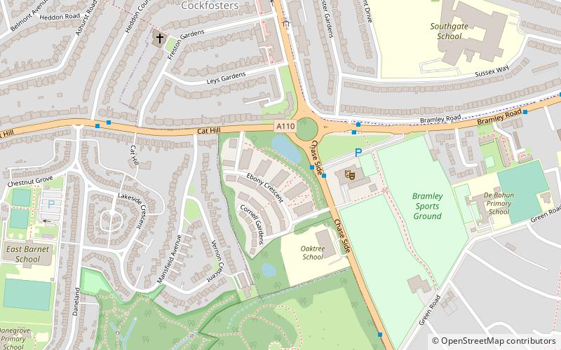
East Barnet is an area of north London within the London Borough of Barnet bordered by New Barnet, Cockfosters and Southgate. It is a largely residential suburb whose central area contains shops, public houses, restaurants and services, and the parish church of St Mary the Virgin. East Barnet is close to the M25 and the A1 and M1. ()
Day trips
East Barnet – popular in the area (distance from the attraction)
Nearby attractions include: St Mary the Virgin, Christ Church Cockfosters, Swan Lane Open Space, New Barnet War Memorial.
Frequently Asked Questions (FAQ)
Which popular attractions are close to East Barnet?
Nearby attractions include New Barnet, Potters Bar (10 min walk), Belmont Open Space, London (12 min walk), St Mary the Virgin, London (14 min walk), Oak Hill College, London (18 min walk).
How to get to East Barnet by public transport?
The nearest stations to East Barnet:
Bus
Train
Metro
Bus
- Church Hill Road • Lines: 184 (1 min walk)
- East Barnet War Memorial • Lines: 307 (3 min walk)
Train
- Oakleigh Park (9 min walk)
- New Barnet (16 min walk)
Metro
- Cockfosters • Lines: Piccadilly (24 min walk)
- Totteridge & Whetstone • Lines: Northern (27 min walk)

 Tube
Tube


