Dales High Way, Bradford

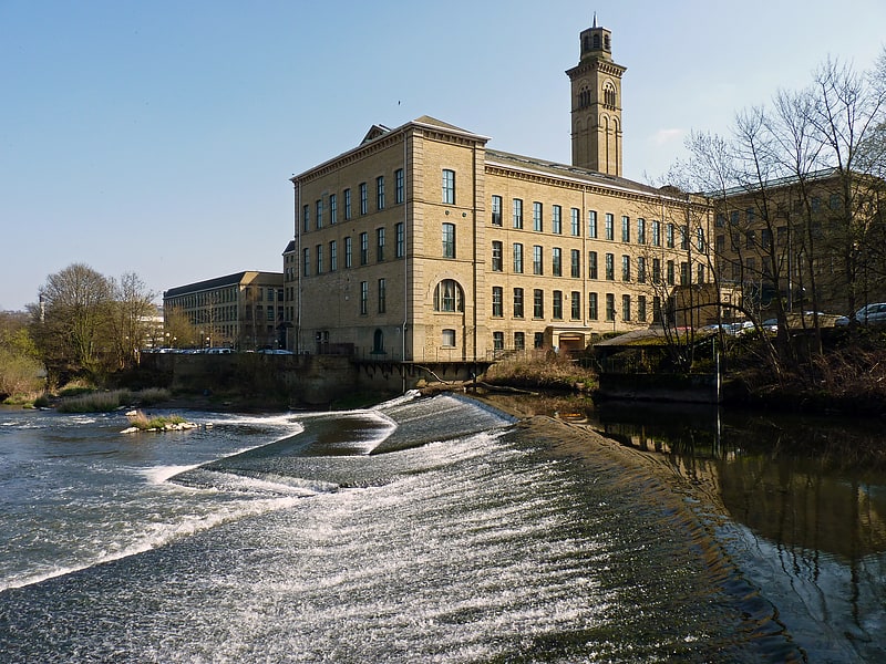
Gallery (1)
Map
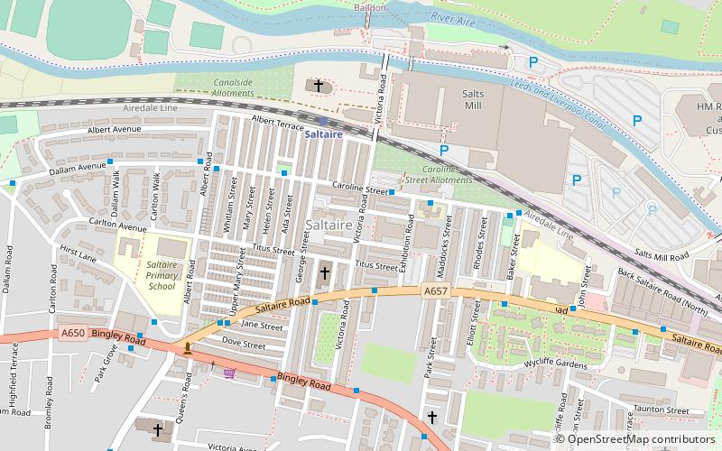
Map
Facts and practical information
A Dales High Way is a long-distance footpath in northern England. It is 90 miles long and runs from Saltaire in West Yorkshire to Appleby-in-Westmorland, Cumbria, roughly parallel to the line of the Settle and Carlisle Railway. ()
Length: 86.99 miMaximum elevation: 2356 ftCoordinates: 53°50'14"N, 1°47'24"W
Address
ShipleyBradford
ContactAdd
Social media
Add
Getting there by public transportation
Public transportation stops near this location
- Bus
- Train
 Bus
Bus
- Calculate routeSaltaire 3 min walk
- Calculate routeShipley 19 min walk
- Calculate routeFrizinghall 37 min walk
- Calculate routeCaroline Street Albert Road 4 min walk
- Calculate routeDallam Avenue Albert Road 5 min walk
Day trips


Frequently Asked Questions (FAQ)
Which popular attractions are close to Dales High Way?
Nearby attractions include Victoria Hall, Bradford (1 min walk), Saltaire, Bradford (2 min walk), Salts Mill, Bradford (3 min walk), Saltaire United Reformed Church, Bradford (4 min walk).
How to get to Dales High Way by public transport?
The nearest stations to Dales High Way:
Train
Bus
Train
- Saltaire (3 min walk)
- Shipley (19 min walk)
Bus
- Caroline Street Albert Road • Lines: 679 (4 min walk)
- Dallam Avenue Albert Road • Lines: 679 (5 min walk)