Heaton Woods, Bradford
Map
Map

Facts and practical information
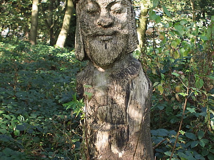
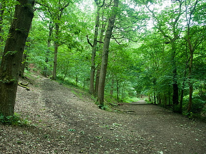
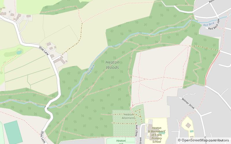
The Heaton Woods Trust is both the name for the charity and the woodland it cares for located mainly in Heaton, Bradford, West Yorkshire, England but also stretches into Shipley. The Heaton Woods Trust is a registered charity that was established in 1977. The Heaton Woods Trust is responsible for the care and protection of the woods for the benefit of present and future generations. ()
Coordinates: 53°49'13"N, 1°47'22"W
Day trips
Heaton Woods – popular in the area (distance from the attraction)
Nearby attractions include: Cartwright Hall, Lister Park, Northcliffe Park, Dales High Way.
Frequently Asked Questions (FAQ)
Which popular attractions are close to Heaton Woods?
Nearby attractions include Northcliffe Park, Bradford (13 min walk), Frizinghall, Bradford (19 min walk), Shipley Town Hall, Bradford (21 min walk), Lister Park, Bradford (22 min walk).
How to get to Heaton Woods by public transport?
The nearest stations to Heaton Woods:
Bus
Train
Bus
- Haworth Road Heights Lane • Lines: Route 620, Route 680 (20 min walk)
- Haworth Road Sowden Road • Lines: Route 680 (20 min walk)
Train
- Frizinghall (22 min walk)
- Shipley (29 min walk)
