King Street, Kilmarnock
Map

Map

Facts and practical information
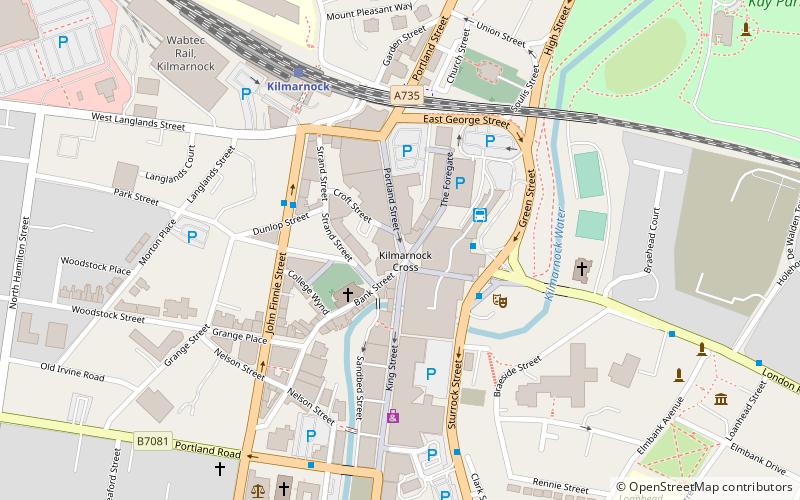
King Street was once the principal business street in Kilmarnock, East Ayrshire, Scotland. King Street runs from the "Cross" over the Kilmarnock Water and on to the junction with Titchfield Street. ()
Length: 1056 ftCoordinates: 55°36'37"N, 4°29'48"W
Address
Kilmarnock
ContactAdd
Social media
Add
Day trips
King Street – popular in the area (distance from the attraction)
Nearby attractions include: Dean Castle, Dick Institute, Palace Theatre, Burns Monument Centre.
Frequently Asked Questions (FAQ)
Which popular attractions are close to King Street?
Nearby attractions include Laigh Kirk, Kilmarnock (2 min walk), Palace Theatre, Kilmarnock (3 min walk), Kilmarnock railway viaduct, Kilmarnock (4 min walk), George Hotel, Kilmarnock (5 min walk).
How to get to King Street by public transport?
The nearest stations to King Street:
Bus
Train
Bus
- Kilmarnock Bus Station (2 min walk)
Train
- Kilmarnock (5 min walk)


