Wychbury Hill, Hagley
Map

Map

Facts and practical information
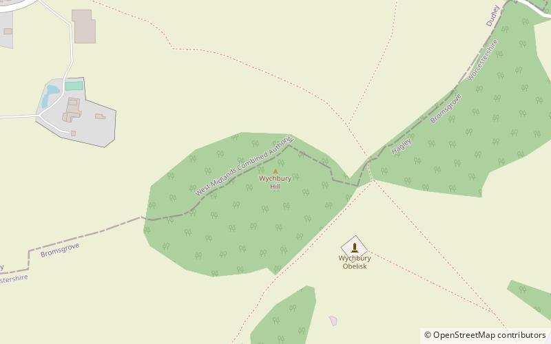
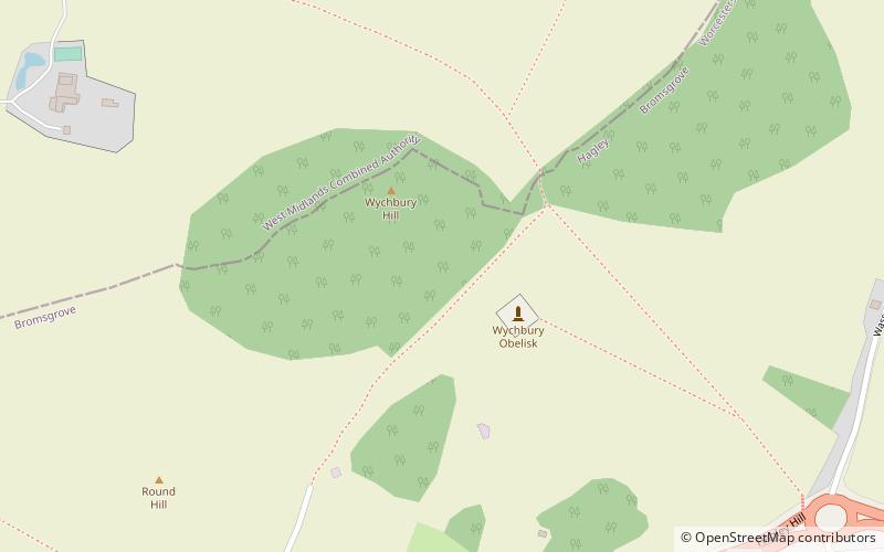
Wychbury Hill is a hill situated off the A456 Birmingham Road, at Hagley, Stourbridge, on the border of West Midlands and Worcestershire. ()
Elevation: 735 ftCoordinates: 52°26'3"N, 2°7'12"W
Day trips
Wychbury Hill – popular in the area (distance from the attraction)
Nearby attractions include: Hagley Hall, Wychbury Obelisk, Castle in Hagley Park, Wychbury Ring.
Frequently Asked Questions (FAQ)
Which popular attractions are close to Wychbury Hill?
Nearby attractions include Wychbury Obelisk, Hagley (4 min walk), Hagley Hall, Hagley (18 min walk), Pedmore, Stourbridge (20 min walk).


