Pedmore, Stourbridge

Map
Facts and practical information
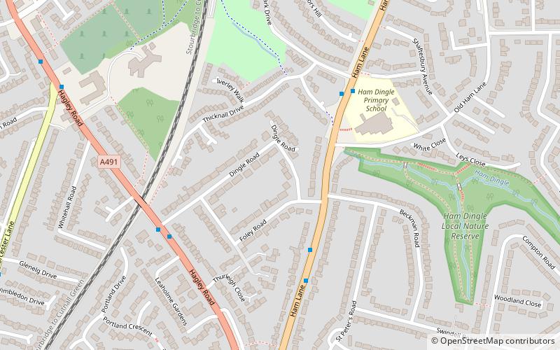
Pedmore is a residential suburb of Stourbridge in the West Midlands of England. It was originally a village in the Worcestershire countryside until extensive housebuilding during the interwar years saw it gradually merged into Stourbridge. The population of the appropriate Dudley Ward taken at the 2011 census was 12,471. ()
Coordinates: 52°26'34"N, 2°7'55"W
Address
Dudley (Pedmore and Stourbridge East)Stourbridge
ContactAdd
Social media
Add
Day trips
Pedmore – popular in the area (distance from the attraction)
Nearby attractions include: Stourbridge Library, Wychbury Obelisk, St Thomas' Church, Wychbury Hill.
Frequently Asked Questions (FAQ)
Which popular attractions are close to Pedmore?
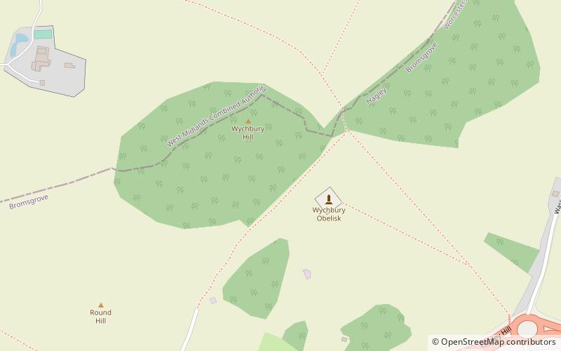
Nearby attractions include Wychbury Hill, Hagley (20 min walk), Wychbury Obelisk, Hagley (24 min walk).
How to get to Pedmore by public transport?
The nearest stations to Pedmore:
Bus
Train
Bus
- Hagley Rd / Dingle Rd • Lines: 298, 299 (5 min walk)
- Pedmore Lane / St Peters Rd • Lines: 298, 299 (9 min walk)
Train
- Stourbridge Junction (9 min walk)
- Stourbridge Town (26 min walk)


