Culham Bridge, Abingdon
Map
Gallery

Facts and practical information
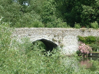
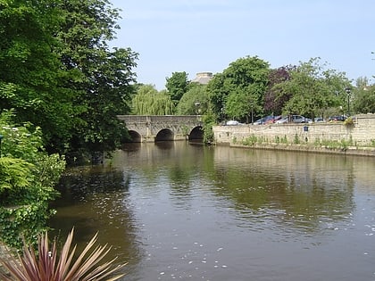
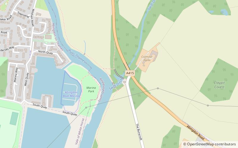
Culham Bridge is a medieval bridge crossing a present backwater of the River Thames in England at Culham, Oxfordshire, near the town of Abingdon. The bridge crosses Swift Ditch which was at one time the main navigation channel of the River Thames until Abingdon Lock was built in 1790. The bridge formerly carried the A415 road from Abingdon to Dorchester, Oxfordshire, but was superseded in 1928 by a modern road bridge. ()
Coordinates: 51°39'31"N, 1°16'38"W
Address
Abingdon
ContactAdd
Social media
Add
Day trips
Culham Bridge – popular in the area (distance from the attraction)
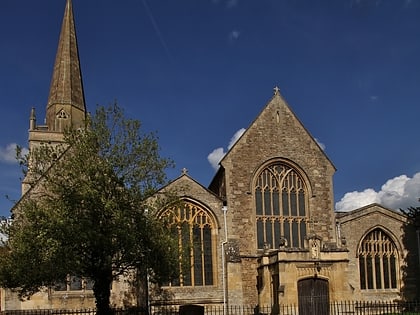
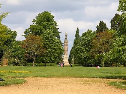
Nearby attractions include: Abingdon County Hall Museum, Thames Path, St Helen's Church, Albert Park.
Frequently Asked Questions (FAQ)
Which popular attractions are close to Culham Bridge?
Nearby attractions include Andersey Island, Abingdon (14 min walk), St Helen's Church, Abingdon (18 min walk), Helenstowe Nunnery, Abingdon (18 min walk), Nag's Head Island, Abingdon (18 min walk).
How to get to Culham Bridge by public transport?
The nearest stations to Culham Bridge:
Bus
Bus
- Stratton Way • Lines: 33 (24 min walk)
