The Pantiles, Tunbridge Wells
Map

Gallery

Facts and practical information
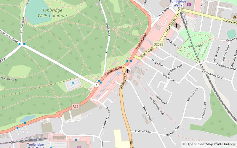
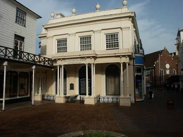
The Pantiles is a Georgian colonnade in the town of Royal Tunbridge Wells, Kent, England. Formerly known as "The Walks" and the "Parade", it leads from the well that gave the town its name. The area, developed following the discovery of a chalybeate spring in 1606, has become a popular tourist-attraction. ()
Coordinates: 51°7'36"N, 0°15'31"E
Day trips
The Pantiles – popular in the area (distance from the attraction)
Nearby attractions include: Royal Victoria Place, Dunorlan Park, Church of King Charles the Martyr, Trinity Theatre.
Frequently Asked Questions (FAQ)
When is The Pantiles open?
The Pantiles is open:
- Monday 8 am - 12 am
- Tuesday 8 am - 12 am
- Wednesday 8 am - 12 am
- Thursday 8 am - 12 am
- Friday 8 am - 12 am
- Saturday 8 am - 12 am
- Sunday 8 am - 12 am
Which popular attractions are close to The Pantiles?
Nearby attractions include Church of King Charles the Martyr, Tunbridge Wells (1 min walk), The Forum, Tunbridge Wells (1 min walk), Trinity Theatre, Tunbridge Wells (12 min walk), Tunbridge Wells Town Hall, Tunbridge Wells (13 min walk).
How to get to The Pantiles by public transport?
The nearest stations to The Pantiles:
Bus
Train
Bus
- Vale Road • Lines: 231, 28, 29, 291, 29X (2 min walk)
- The Pantiles • Lines: 28, 29, 29X (2 min walk)
Train
- Tunbridge Wells (8 min walk)
- Tunbridge Wells West (9 min walk)


