Tunbridge Wells Town Hall, Tunbridge Wells
Map

Map

Facts and practical information
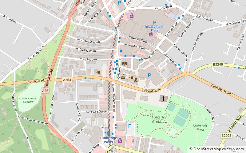
Tunbridge Wells Town Hall is a municipal building in Mount Pleasant Road, Royal Tunbridge Wells, Kent, England. The town hall, which is the headquarters of Tunbridge Wells Borough Council, is a Grade II listed building. ()
Coordinates: 51°7'57"N, 0°15'50"E
Address
Tunbridge Wells
Contact
+44 1892 526121
Social media
Add
Day trips
Tunbridge Wells Town Hall – popular in the area (distance from the attraction)
Nearby attractions include: Royal Victoria Place, Dunorlan Park, Church of King Charles the Martyr, Trinity Theatre.
Frequently Asked Questions (FAQ)
Which popular attractions are close to Tunbridge Wells Town Hall?
Nearby attractions include Assembly Hall Theatre, Tunbridge Wells (1 min walk), Trinity Theatre, Tunbridge Wells (2 min walk), Great Culverden Park, Tunbridge Wells (8 min walk), The Forum, Tunbridge Wells (12 min walk).
How to get to Tunbridge Wells Town Hall by public transport?
The nearest stations to Tunbridge Wells Town Hall:
Bus
Train
Bus
- War Memorial • Lines: 231, 233, 28, 29, 291, 29X (1 min walk)
- Monson Road • Lines: 28, 29, 29X (2 min walk)
Train
- Tunbridge Wells (5 min walk)
- Tunbridge Wells West (21 min walk)


