Town Ground, Kettering
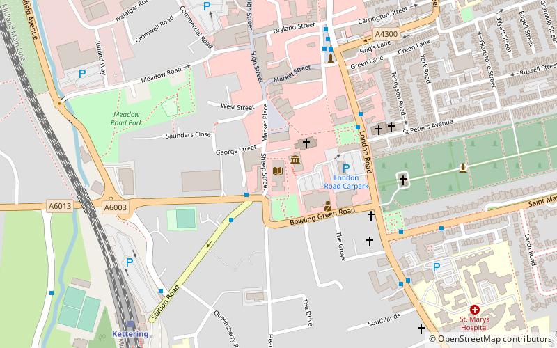
Map
Facts and practical information
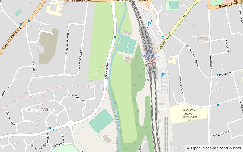
The Town Ground in Kettering, England was used by Northamptonshire for 65 first-class cricket matches between 1923 and 1971. It also staged four List A games in the early 1970s, and has occasionally been used by Northamptonshire's Second XI. ()
Coordinates: 52°23'33"N, 0°44'2"W
Address
Kettering
ContactAdd
Social media
Add
Getting there by public transportation
Public transportation stops near this location
- Train
 Train
Train
- Calculate routeKettering 3 min walk
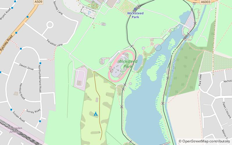
- Calculate routeWicksteed Park 32 min walk
Day trips


Frequently Asked Questions (FAQ)
Which popular attractions are close to Town Ground?
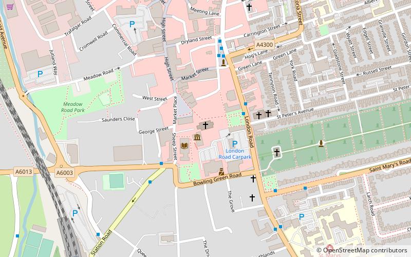
Nearby attractions include Lighthouse Theatre, Kettering (9 min walk), Kettering Library, Kettering (10 min walk), St Peter and St Paul's Church, Kettering (12 min walk), Eden Centre, Kettering (19 min walk).
How to get to Town Ground by public transport?
The nearest stations to Town Ground:
Train
Train
- Kettering (3 min walk)
- Wicksteed Park (32 min walk)