Vale of Mowbray, Northallerton
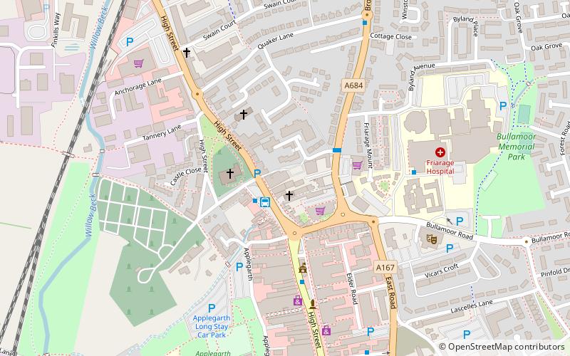
Map

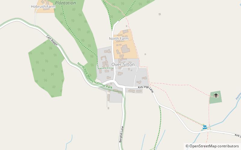
Map

Facts and practical information
The Vale of Mowbray is a stretch of low-lying land between the North York Moors and the Hambleton Hills to the east and the Yorkshire Dales to the west. To the north lie the Cleveland lowlands and to the south the Vale of Mowbray becomes the Vale of York proper. ()
Coordinates: 54°20'31"N, 1°26'6"W
Address
Northallerton
ContactAdd
Social media
Add
Day trips
Vale of Mowbray – popular in the area (distance from the attraction)
Nearby attractions include: St Radegund's Church, The Shrine of Our Lady of Mount Grace, All Saints' Church, St Helens.


