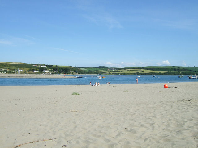
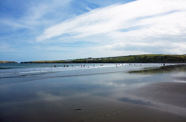
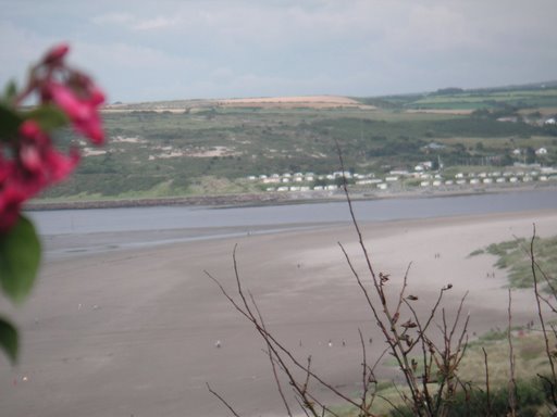
Poppit Sands
#2841 among destinations in the United Kingdom


Facts and practical information
Poppit is a small, dispersed settlement which lies on the southern side of the estuary of the River Teifi, near Cardigan, in northern Pembrokeshire, Wales. ()
WalesUnited Kingdom
Poppit Sands plan & book
Unleash the traveler in you — discover the cheapest flight deals, find the perfect hotel or hostel nearby, and search for the best car rental prices. Travel at your own pace to discover new places and enjoy your journey.
Poppit Sands – popular in the area (distance from the attraction)
Nearby attractions include: Pembrokeshire Coast Path, Ceredigion Coast Path, Foel Y Mwnt, Castle Green House.
 Hiking, Hiking trail
Pembrokeshire Coast Path
35 min walk • The Pembrokeshire Coast Path is a beacon for outdoor enthusiasts and a jewel in the crown of British hiking trails. Tracing the rugged contours of the Pembrokeshire coast in Wales, this path stretches for an impressive 186 miles, offering a journey through some of the...
 Hiking, Hiking trail
Ceredigion Coast Path, Cardigan
58 min walk • The Ceredigion Coast Path is a waymarked long distance footpath in the United Kingdom, on the coast of Ceredigion, Wales. It is 65 miles in length, running along the coast of Cardigan Bay from Cardigan to Ynyslas.
 Church
Foel Y Mwnt
80 min walk • Nestled on the rugged coastline of Ceredigion, Wales, Foel Y Mwnt stands as a beacon of tranquility and spiritual heritage. This quaint site is renowned for its medieval church, Church of the Holy Cross, which dates back to the 14th century.
 Museum
Castle Green House, Cardigan
59 min walk • Castle Green House is a Grade II* listed house located in the grounds of Cardigan Castle, Cardigan, Ceredigion, Wales. It was restored in the 2000s and now acts as a museum, events centre and residential accommodation.
 12th-century landmark overlooking river
Cardigan Castle, Cardigan
59 min walk • Cardigan Castle is a castle overlooking the River Teifi in Cardigan, Ceredigion, Wales. It is a Grade I listed building. The castle dates from the late 11th-century, though was rebuilt in 1244.
 Forts and castles
Cilgerran Castle, Cardigan
111 min walk • Cilgerran Castle is a 13th-century ruined castle located in Cilgerran, Pembrokeshire, Wales, near Cardigan. The first castle on the site was thought to have been built by Gerald of Windsor around 1110–1115, and it changed hands several times over the following century between English and Welsh forces.
 52°5'2"N • 4°39'41"W
Cardigan Guildhall Market, Cardigan
56 min walk • Shopping, Scenic walking areas, Shopping centre
 Historical place, Spiritual, Cafe
Abbey of St. Mary, Cardigan
50 min walk • The Abbey of St. Mary is Grade I listed ruined abbey in St Dogmaels in Pembrokeshire, Wales, on the banks of the River Teifi and close to Cardigan and Poppit Sands.
 Monastery
Cardigan Priory, Cardigan
64 min walk • Cardigan Priory was a Benedictine priory located in Cardigan, Ceredigion, mid-west Wales. Its church survives as a parish church, St. Mary's Church, Cardigan, whereas the priory itself was a separate building.
 Church
Manordeifi Old Church
147 min walk • Manordeifi Old Church is a redundant church in Manordeifi, Pembrokeshire, Wales. It is designated by Cadw as a Grade II* listed building, and is under the care of the Friends of Friendless Churches.
 Locality
Ceibwr Bay, Pembrokeshire Coast National Park
89 min walk • Ceibwr Bay is a bay opening into the Irish Sea in Pembrokeshire, west Wales. It is about 7 km west of Cardigan, and 3 km south of the headland of Cemaes Head.


