Strathpeffer Pavilion, Strathpeffer
Map

Map

Facts and practical information
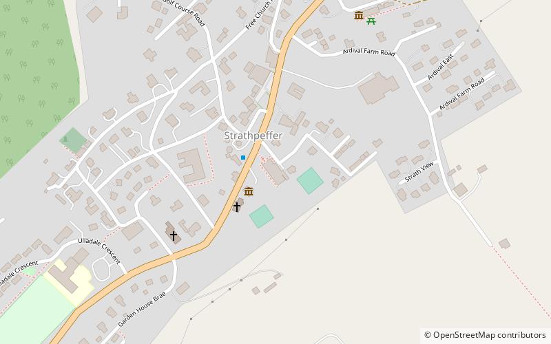
Strathpeffer Spa Pavilion was commissioned by the Countess of Cromartie in the late 19th century, to serve as a social and entertainment centre for Strathpeffer's many visitors. Formerly just a collection of farms in a Scottish Highland Strath, the village of Strathpeffer developed and became a popular health resort in the Victorian era, when local spring waters were discovered to have health-giving properties. ()
Coordinates: 57°35'15"N, 4°32'15"W
Day trips
Strathpeffer Pavilion – popular in the area (distance from the attraction)
Nearby attractions include: Rogie Falls, Victoria Park, Dingwall Castle, Muir of Ord Golf Club.
Frequently Asked Questions (FAQ)
Which popular attractions are close to Strathpeffer Pavilion?
Nearby attractions include Highland Museum of Childhood, Strathpeffer (6 min walk), Clach an Tiompain, Strathpeffer (7 min walk), Castle Leod, Strathpeffer (20 min walk).


