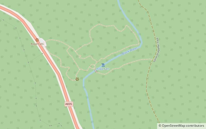
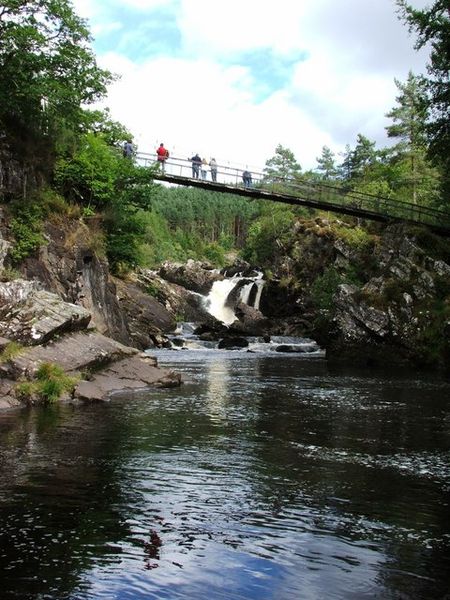
Rogie Falls, Strathpeffer

Gallery (2)
Map
Map
Gallery
Facts and practical information
Rogie Falls are a series of waterfalls on the Black Water, a river in Ross-shire in the Highlands of Scotland. The falls are about 2 kilometres northwest of the village of Contin, next to the A835 road. They are a popular tourist attraction, with several forest walks. ()
Elevation: 203 ft a.s.l.Coordinates: 57°35'21"N, 4°36'9"W
Day trips


