Rose Street, Edinburgh
Map
Gallery
Facts and practical information
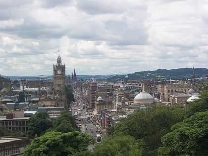
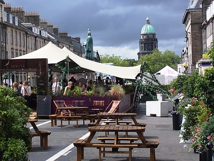
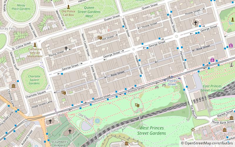
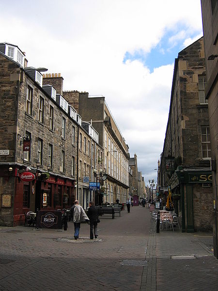
Rose Street is a street in the New Town of Edinburgh, Scotland. It is a narrow street running parallel between Princes Street and George Street. Today, it is principally a shopping street, however, it is well known for its many bars and public houses. ()
Coordinates: 55°57'7"N, 3°12'6"W
Address
New TownEdinburgh
ContactAdd
Social media
Add
Day trips
Rose Street – popular in the area (distance from the attraction)
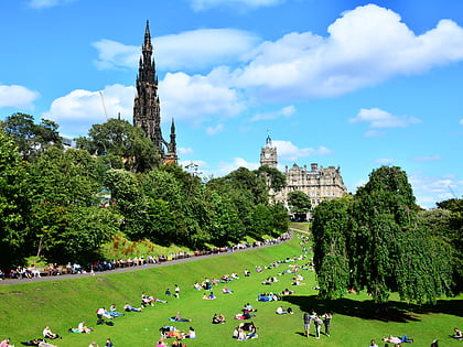
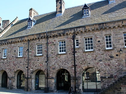
Nearby attractions include: Princes Street, Edinburgh Castle, George Street, Scottish National Gallery.
Frequently Asked Questions (FAQ)
Which popular attractions are close to Rose Street?
Nearby attractions include Scottish American Memorial, Edinburgh (4 min walk), Church of Scotland offices, Edinburgh (4 min walk), Assembly Rooms, Edinburgh (4 min walk), Charlotte Chapel, Edinburgh (4 min walk).
How to get to Rose Street by public transport?
The nearest stations to Rose Street:
Bus
Tram
Train
Bus
- Princes Street • Lines: 1, 10, 100, 104, 11, 113, 12, 124, 16, 19, 22, 25, 26, 3, 31, 37, 4, 41, 43, 44, X5 (3 min walk)
- Frederick Street • Lines: 29 (2 min walk)
Tram
- Princes Street • Lines: Edinburgh Trams Eastbound, Edinburgh Trams Westbound (4 min walk)
- St Andrew Square • Lines: Edinburgh Trams Eastbound, Edinburgh Trams Westbound (11 min walk)
Train
- Edinburgh Waverley (11 min walk)
- Haymarket (21 min walk)

