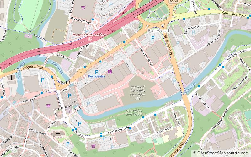
The Peel Centre, Stockport
Map

Map

Facts and practical information
The Peel Centre is a retail park located in Stockport, Greater Manchester. It currently contains 20 units, with all currently occupied It is owned and operated by the Peel Land and Property Division of The Peel Group. It currently extends to 230,000 sq ft, with units varying in size. It is located close to the town centre shopping areas, including the Merseyway Shopping Centre, with which it competes for similar tenants. ()
Stores: 20Elevation: 154 ft a.s.l.Coordinates: 53°24'49"N, 2°9'2"W
Day trips
The Peel Centre – popular in the area (distance from the attraction)
Nearby attractions include: Merseyway Shopping Centre, Hat Works Museum, St Mary's Church, Edgeley Park.
Frequently Asked Questions (FAQ)
Which popular attractions are close to The Peel Centre?
Nearby attractions include Portwood, Stockport (5 min walk), St Mary's Church, Stockport (7 min walk), Staircase House, Stockport (7 min walk), St Peter's Church, Stockport (10 min walk).
How to get to The Peel Centre by public transport?
The nearest stations to The Peel Centre:
Bus
Train
Bus
- Stockport, Great Portwood Street / outside The Peel Centre • Lines: 322, 324, 325, 327, 330, 382 (3 min walk)
- Woodbank Estate, Newbridge Lane / opposite Bateson Street • Lines: 384 (4 min walk)
Train
- Stockport (20 min walk)
- Heaton Chapel (38 min walk)


