The Co-operative Bank, Stockport

Gallery (1)
Map
Map
Facts and practical information
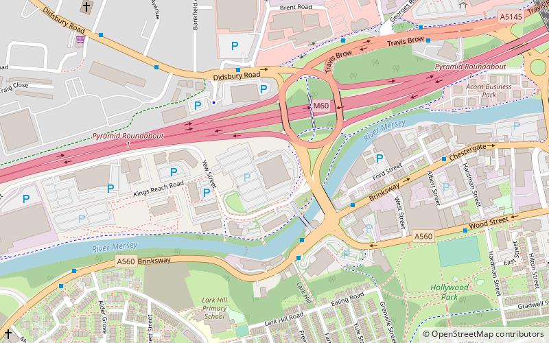
The Stockport Pyramid, otherwise known as the Co-operative Bank Pyramid or simply The Pyramid is a commercial office building in Stockport, Greater Manchester. ()
Coordinates: 53°24'29"N, 2°10'32"W
Address
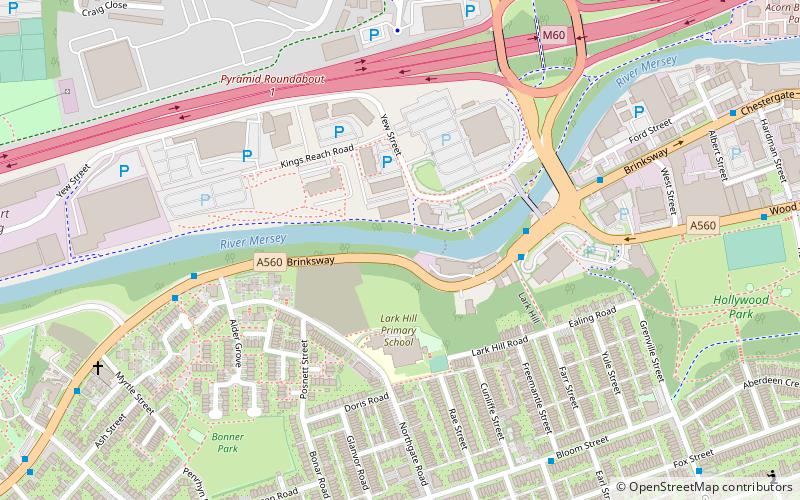
Stockport (Heatons South)Stockport
ContactAdd
Social media
Add
Getting there by public transportation
Public transportation stops near this location
- Bus
- Train
 Bus
Bus
- Calculate routeStockport, Brinksway / outside The Woolpack 3 min walk
- Calculate routeBrinksway/The Woolpack 3 min walk
- Calculate routeStockport, Brinksway / opposite The Woolpack 3 min walk
- Calculate routeHeaton Mersey, Didsbury Road / near Green Lane 4 min walk
- Calculate routeStockport 14 min walk
Day trips


Frequently Asked Questions (FAQ)
Which popular attractions are close to The Co-operative Bank?
Nearby attractions include Brinksway Caves, Stockport (4 min walk), Alexandra Park Edgeley, Stockport (14 min walk), Hat Works Museum, Stockport (14 min walk), Christ Church, Stockport (14 min walk).
How to get to The Co-operative Bank by public transport?
The nearest stations to The Co-operative Bank:
Bus
Train
Bus
- Stockport, Brinksway / outside The Woolpack • Lines: 11A, 323 (3 min walk)
- Brinksway/The Woolpack • Lines: 312 (3 min walk)
Train
- Stockport (14 min walk)