Loomer Road Stadium, Stoke-on-Trent
Map
Facts and practical information
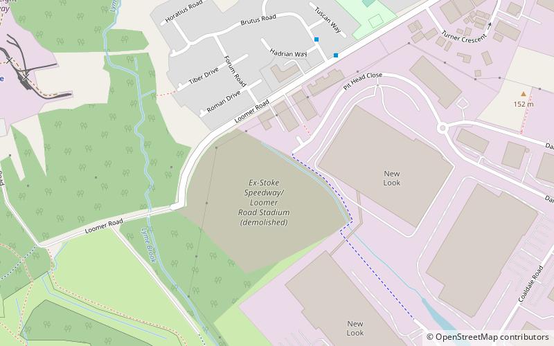
Loomer Road Stadium is a former sports stadium situated in Chesterton, Staffordshire. The building had considerable parking facilities, covered terracing and a bar with a view of the track. It had a capacity of 5,000. The stadium was constructed in the early 1970s and hosted greyhound racing until 2003, and speedway and stock cars until its closure at the end of the 2019 season. ()
Coordinates: 53°1'52"N, 2°15'25"W
Address
Stoke-on-Trent
ContactAdd
Social media
Add
Getting there by public transportation
Public transportation stops near this location
- Train
 Train
Train
- Calculate routeSilverdale 11 min walk
- Calculate routeApedale Road 14 min walk
Day trips


Frequently Asked Questions (FAQ)
Which popular attractions are close to Loomer Road Stadium?
Nearby attractions include Apedale Heritage Centre, Stoke-on-Trent (10 min walk), Moseley Railway Trust, Stoke-on-Trent (11 min walk), Apedale Community Country Park, Stoke-on-Trent (16 min walk), Chesterton, Stoke-on-Trent (21 min walk).
How to get to Loomer Road Stadium by public transport?
The nearest stations to Loomer Road Stadium:
Train
Train
- Silverdale (11 min walk)
- Apedale Road (14 min walk)