Chesterton, Stoke-on-Trent
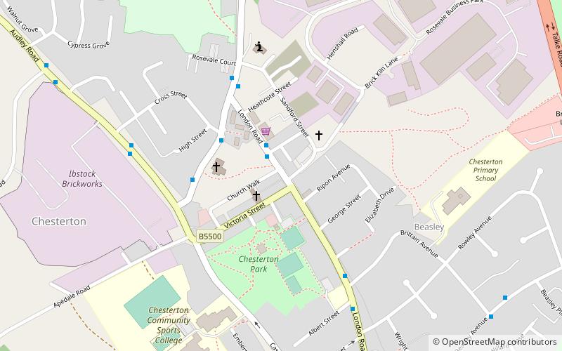
Map

Map

Facts and practical information
Chesterton is a former mining village in the Borough of Newcastle-under-Lyme in Staffordshire, England. ()
Coordinates: 53°2'30"N, 2°15'3"W
Day trips
Chesterton – popular in the area (distance from the attraction)
Nearby attractions include: Moseley Railway Trust, Apedale Heritage Centre, Bignall Hill, Apedale Community Country Park.
Frequently Asked Questions (FAQ)
Which popular attractions are close to Chesterton?
Nearby attractions include Moseley Railway Trust, Stoke-on-Trent (21 min walk), Apedale Heritage Centre, Stoke-on-Trent (23 min walk).
How to get to Chesterton by public transport?
The nearest stations to Chesterton:
Train
Train
- Apedale Road (19 min walk)
- Silverdale (23 min walk)


