The Underground, Stoke-on-Trent
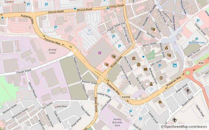
Map
Facts and practical information
The Underground is a club/music venue in Hanley, Stoke-on-Trent, England. It was also part of the NME group, Club NME. It is well known for hosting several up and coming indie/rock/metal acts, and many local bands in the Staffordshire area. ()
Coordinates: 53°1'21"N, 2°10'50"W
Address
Hanley West and SheltonStoke-on-Trent
ContactAdd
Social media
Add
Getting there by public transportation
Public transportation stops near this location
- Bus
- Train
 Bus
Bus
- Calculate routeHanley Bus Station 7 min walk
- Calculate routeStoke-on-Trent 26 min walk
Day trips


Frequently Asked Questions (FAQ)
Which popular attractions are close to The Underground?
Nearby attractions include Mitchell Arts Centre, Stoke-on-Trent (2 min walk), Potteries Museum & Art Gallery, Stoke-on-Trent (3 min walk), Bethesda Methodist Chapel, Stoke-on-Trent (4 min walk), The Sugarmill, Stoke-on-Trent (5 min walk).
How to get to The Underground by public transport?
The nearest stations to The Underground:
Bus
Train
Bus
- Hanley Bus Station (7 min walk)
Train
- Stoke-on-Trent (26 min walk)