Stoke Town Hall, Stoke-on-Trent
Map

Map

Facts and practical information
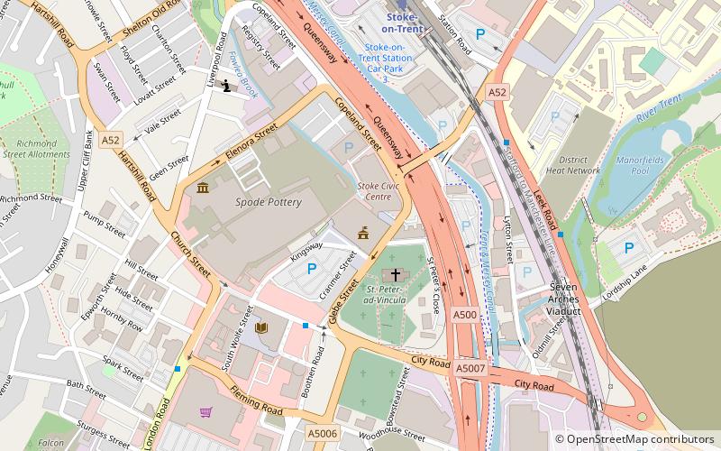
Stoke-on-Trent Town Hall is a municipal building in Glebe Street, Stoke-on-Trent, Staffordshire, England. The town hall, which is the meeting place of Stoke-on-Trent City Council, is a Grade II listed building. ()
Coordinates: 53°0'17"N, 2°10'55"W
Address
Hartshill and PenkhullStoke-on-Trent
ContactAdd
Social media
Add
Day trips
Stoke Town Hall – popular in the area (distance from the attraction)
Nearby attractions include: Bet365 Stadium, Etruria Industrial Museum, Repertory Theatre, Hanley Park.
Frequently Asked Questions (FAQ)
Which popular attractions are close to Stoke Town Hall?
Nearby attractions include Stoke Minster, Stoke-on-Trent (2 min walk), Spode Museum, Stoke-on-Trent (5 min walk), Winton Square, Stoke-on-Trent (7 min walk), Stoke-upon-Trent, Stoke-on-Trent (7 min walk).
How to get to Stoke Town Hall by public transport?
The nearest stations to Stoke Town Hall:
Train
Train
- Stoke-on-Trent (6 min walk)


