Berwick Street, London
Map
Gallery
Facts and practical information
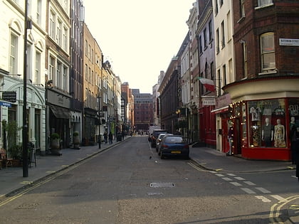
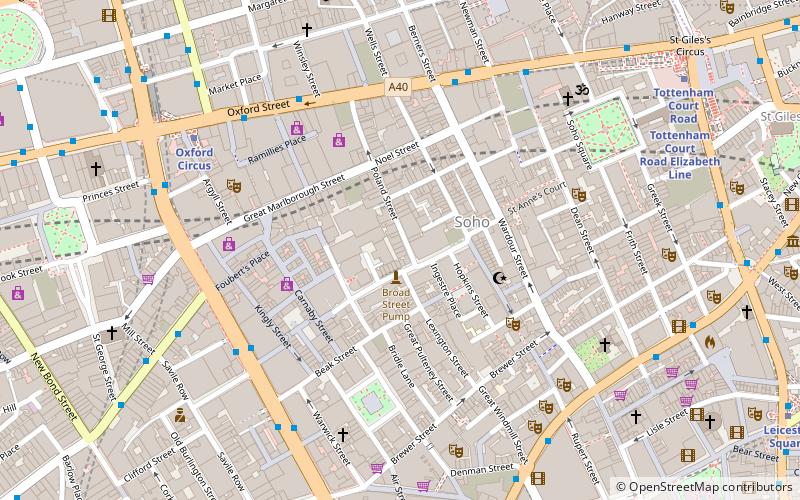
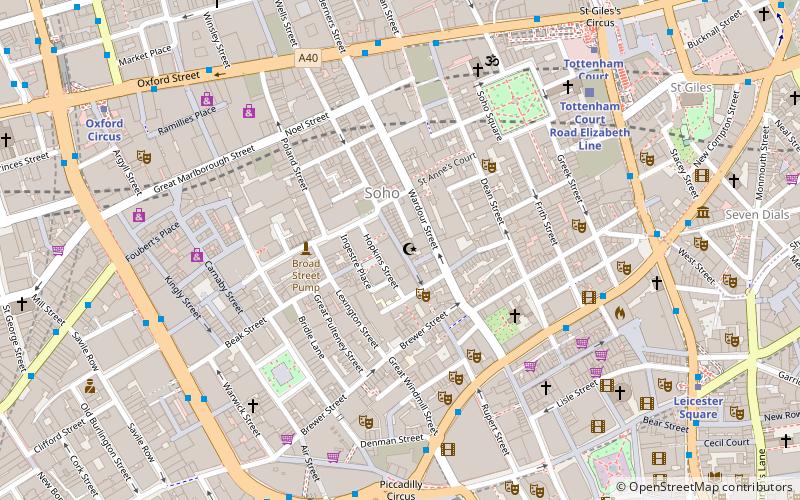
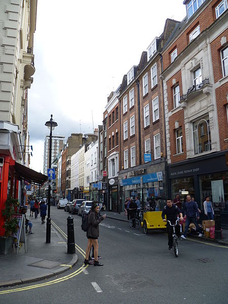
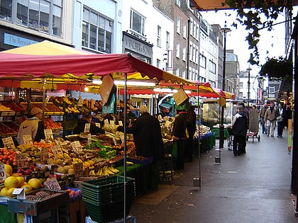
Berwick Street is a street in the Soho district of the City of Westminster built between 1687 and 1703. Berwick Street runs between Oxford Street to the north and Peter Street at the south. ()
Coordinates: 51°30'48"N, 0°8'5"W
Day trips
Berwick Street – popular in the area (distance from the attraction)
Nearby attractions include: Carnaby Street, Soho, Old Compton Street, Brewer Street.
Frequently Asked Questions (FAQ)
When is Berwick Street open?
Berwick Street is open:
- Monday 8 am - 6 pm
- Tuesday 8 am - 6 pm
- Wednesday 8 am - 6 pm
- Thursday 8 am - 6 pm
- Friday 8 am - 6 pm
- Saturday 8 am - 6 pm
- Sunday closed
Which popular attractions are close to Berwick Street?
Nearby attractions include Wardour Street, London (2 min walk), Riflemaker, London (3 min walk), Soho Theatre, London (3 min walk), Apollo Theatre, London (4 min walk).
How to get to Berwick Street by public transport?
The nearest stations to Berwick Street:
Bus
Metro
Train
Ferry
Bus
- Dean Street / Chinatown • Lines: 38, N38 (5 min walk)
- Trocadero / Haymarket • Lines: 38, N38 (5 min walk)
Metro
- Piccadilly Circus • Lines: Bakerloo, Piccadilly (7 min walk)
- Tottenham Court Road • Lines: Central, Northern (7 min walk)
Train
- Charing Cross (16 min walk)
- London Euston (28 min walk)
Ferry
- Embankment • Lines: Green Tour, Rb1, Rb1X, Rb2, Rb6 (19 min walk)
- Festival Pier • Lines: Green Tour (22 min walk)
 Tube
Tube