Milk & Honey, London
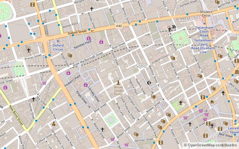
Map
Facts and practical information
Milk & Honey was a cocktail bar originally founded in New York City on 31 December 1999, with another location in Soho, London, founded by Sasha Petraske. The New York location was first located on the Lower East Side and later moved to the Flatiron District. The London branch was operated as a private members' club, although non-members could visit before 11 pm with a prior reservation. In September 2020 Milk & Honey London closed permanently due to the coronavirus pandemic. ()
Coordinates: 51°30'49"N, 0°8'12"W
Address
61 Poland Street, W1F 7NUCity of Westminster (West End)London
Contact
+44 20 7065 6800
Social media
Add
Getting there by public transportation
Public transportation stops near this location
- Metro
- Bus
- Train
- Ferry
 Metro
Metro
- Calculate routeWardour Street 5 min walk
- Calculate routeGreat Titchfield Street / Oxford Circus Station 5 min walk
- Calculate routeOxford Street / Soho Street 6 min walk
- Calculate routeTrocadero / Haymarket 6 min walk
- Calculate routeOxford Circus 7 min walk
- Calculate routePiccadilly Circus 8 min walk
- Calculate routeTottenham Court Road 8 min walk
- Calculate routeLeicester Square 11 min walk
- Calculate routeCharing Cross 18 min walk
- Calculate routeLondon Euston 27 min walk
- Calculate routeLondon Waterloo 33 min walk
- Calculate routeLondon Marylebone 35 min walk
- Calculate routeEmbankment 21 min walk
- Calculate routeFestival Pier 24 min walk
- Calculate routeLondon Eye - Waterloo Pier 26 min walk
- Calculate routeWestminster Pier 26 min walk
Maps Tube
Tube
TubeDay trips
Milk & Honey – popular in the area (distance from the attraction)
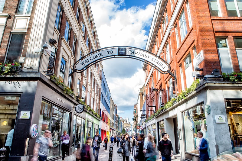
Nearby attractions include: Carnaby Street, Brewer Street, The Bag O'Nails, Dog and Duck.


Frequently Asked Questions (FAQ)
Which popular attractions are close to Milk & Honey?
Nearby attractions include Riflemaker, London (2 min walk), Great Marlborough Street, London (3 min walk), Berwick Street, London (3 min walk), Carnaby Street, London (3 min walk).
How to get to Milk & Honey by public transport?
The nearest stations to Milk & Honey:
Bus
Metro
Train
Ferry
Bus
- Wardour Street • Lines: 55, N55 (5 min walk)
- Great Titchfield Street / Oxford Circus Station • Lines: 55, N55 (5 min walk)
Metro
- Oxford Circus • Lines: Bakerloo, Central, Victoria (7 min walk)
- Piccadilly Circus • Lines: Bakerloo, Piccadilly (8 min walk)
Train
- Charing Cross (18 min walk)
- London Euston (27 min walk)
Ferry
- Embankment • Lines: Green Tour, Rb1, Rb1X, Rb2, Rb6 (21 min walk)
- Festival Pier • Lines: Green Tour (24 min walk)