Wolverhampton Racecourse, Wolverhampton
Map

Gallery

Facts and practical information
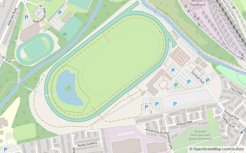
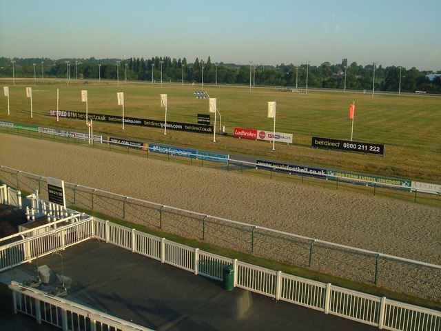
Wolverhampton Racecourse is a thoroughbred horse racing venue located in Wolverhampton, West Midlands, England. The track was the first to be floodlit in Britain and often holds meetings in the evening. ()
Coordinates: 52°36'13"N, 2°8'39"W
Day trips
Wolverhampton Racecourse – popular in the area (distance from the attraction)
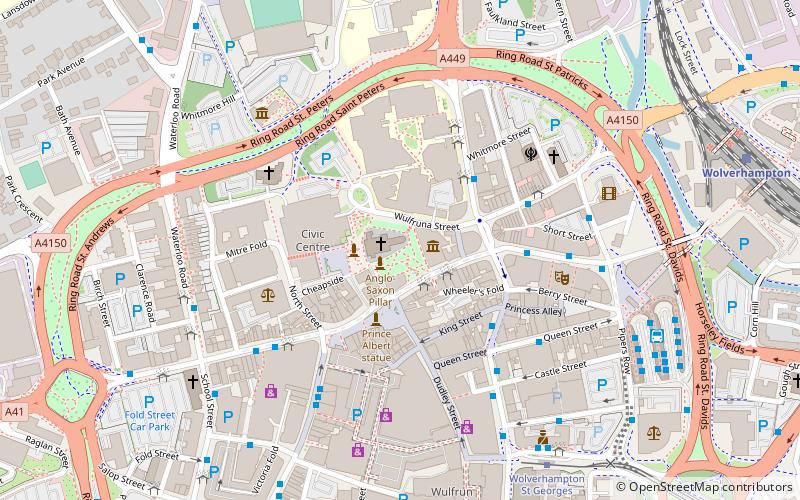
Nearby attractions include: Wolverhampton Art Gallery, Molineux Stadium, St Peter's Collegiate Church, Grand Theatre.
Frequently Asked Questions (FAQ)
Which popular attractions are close to Wolverhampton Racecourse?
Nearby attractions include Aldersley Junction, Wolverhampton (8 min walk), Whitmore Reans, Wolverhampton (13 min walk), Stafford Road F.C., Wolverhampton (15 min walk), St Andrew's Church, Wolverhampton (17 min walk).
How to get to Wolverhampton Racecourse by public transport?
The nearest stations to Wolverhampton Racecourse:
Bus
Train
Bus
- Farndale Ave / Welbury Gardens • Lines: 62, 62A (9 min walk)
- Gatis St / Hambrook Close • Lines: 62, 62A (10 min walk)
Train
- Wolverhampton (39 min walk)


