Aldersley Junction, Wolverhampton
Map
Map

Facts and practical information
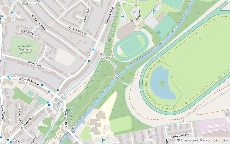
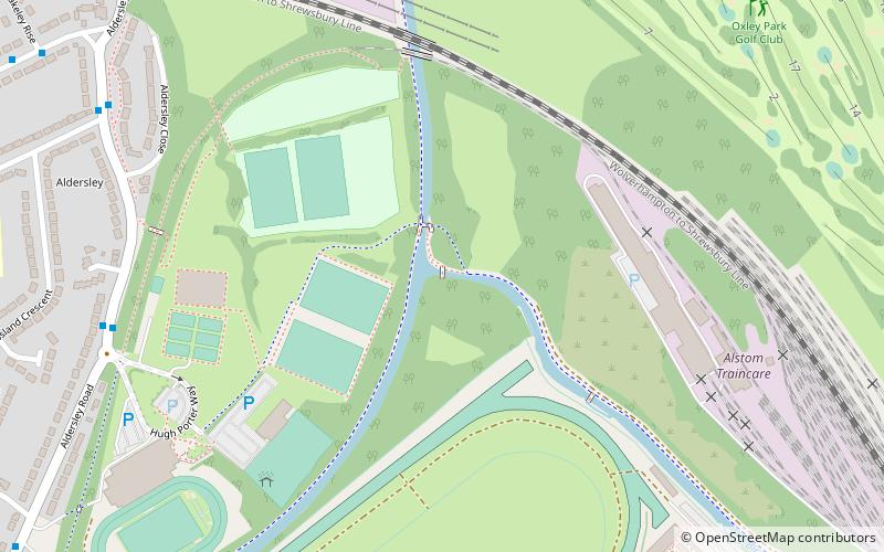
Aldersley Junction is the name of the canal junction where the Birmingham Main Line Canal terminates and meets the Staffordshire and Worcestershire Canal near to Oxley, north Wolverhampton, West Midlands, England. It opened in 1772. ()
Coordinates: 52°36'28"N, 2°8'41"W
Address
St. Peter'sWolverhampton
ContactAdd
Social media
Add
Day trips
Aldersley Junction – popular in the area (distance from the attraction)
Nearby attractions include: Molineux Stadium, Wolverhampton Racecourse, Autherley Junction, St Andrew's Church.
Frequently Asked Questions (FAQ)
Which popular attractions are close to Aldersley Junction?
Nearby attractions include Autherley Junction, Wolverhampton (15 min walk), Stafford Road F.C., Wolverhampton (18 min walk), Whitmore Reans, Wolverhampton (20 min walk), Dovecotes, Wolverhampton (23 min walk).
How to get to Aldersley Junction by public transport?
The nearest stations to Aldersley Junction:
Bus
Bus
- Aldersley Rd / Aldersley Stadium • Lines: 6, 6A, 784 (8 min walk)
- Green Lane / Blakeley Rise • Lines: 6, 6A, 784 (10 min walk)


