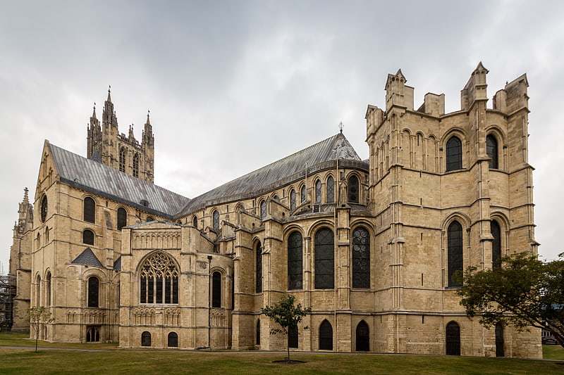
Canterbury College, Canterbury

Gallery (1)
Map
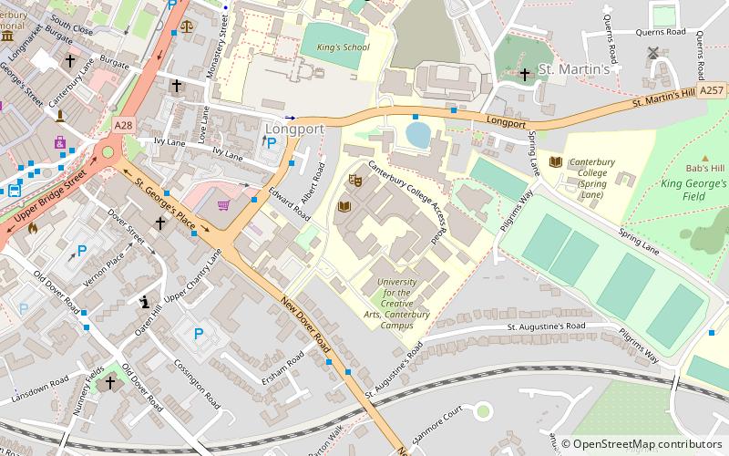
Map
Facts and practical information
Canterbury College is a part of the EKC Group of colleges and provides Further and Higher Education in Canterbury, Kent, England. It was established in 1947. ()
Coordinates: 51°16'33"N, 1°5'24"E
Getting there by public transportation
Public transportation stops near this location
- Bus
- Train
 Bus
Bus
- Calculate routeWhitefriars 9 min walk
- Calculate routeCanterbury Bus Station 9 min walk
- Calculate routeBus Station 10 min walk
- Calculate routeCanterbury East 16 min walk
- Calculate routeCanterbury West 22 min walk
Day trips


Frequently Asked Questions (FAQ)
Which popular attractions are close to Canterbury College?
Nearby attractions include St Augustine's Abbey, Canterbury (5 min walk), HM Prison Canterbury, Canterbury (5 min walk), St Martin's Church, Canterbury (6 min walk), St Augustine's College, Canterbury (7 min walk).
How to get to Canterbury College by public transport?
The nearest stations to Canterbury College:
Bus
Train
Bus
- Whitefriars • Lines: El450, P2 (9 min walk)
- Canterbury Bus Station (9 min walk)
Train
- Canterbury East (16 min walk)
- Canterbury West (22 min walk)