Clonard Monastery, Belfast
Map
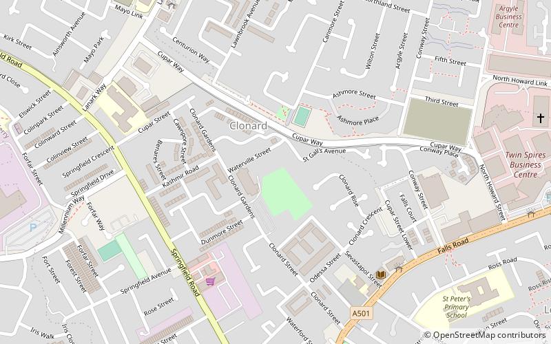
Map

Facts and practical information
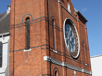
Clonard Monastery is a Catholic church located off the Falls Road in Belfast, Northern Ireland, and home to a community of the Redemptorists religious order. ()
Established: 1911 (115 years ago)Coordinates: 54°35'60"N, 5°57'22"W
Day trips
Clonard Monastery – popular in the area (distance from the attraction)
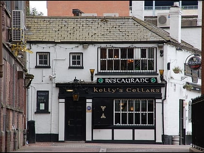
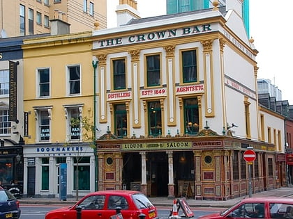
Nearby attractions include: CastleCourt, Park Centre, Kelly's Cellars, Crown Liquor Saloon.
Frequently Asked Questions (FAQ)
Which popular attractions are close to Clonard Monastery?
Nearby attractions include Peace Wall, Belfast (3 min walk), Irish Republican History Museum, Belfast (6 min walk), Shankill Graveyard, Belfast (12 min walk), St Peter's Cathedral, Belfast (12 min walk).
How to get to Clonard Monastery by public transport?
The nearest stations to Clonard Monastery:
Train
Bus
Train
- Belfast - Great Victoria Street (23 min walk)
- City Hospital (26 min walk)
Bus
- Europa Bus Centre (23 min walk)
- Belfast • Lines: X1, X2A (23 min walk)

